Kennedy-Lunsford Farm (Boundary Increase)
Also known as: 81-32

The pin is a point inside the NPS boundary polygon, not a surveyed location.
Why it's listed
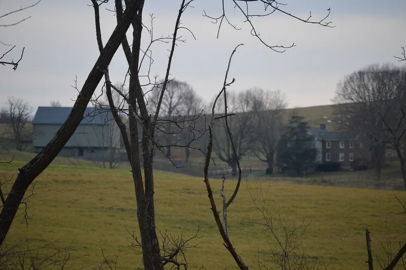
This 22.736-acre addition to the Kennedy-Lunsford Farm in Raphine, Rockbridge County, Virginia, is a broad, sloping hillside of open pasture with a scattering of trees. It lies immediately north of the 139-acre farm tract registered in 1996 and connects that parcel to county road 606. The only structure on it, apart from fencing, is the driveway running from the farm house to the road. The land was part of the farm in the late 18th and early 19th centuries but was sold off during the 20th century. The present owner reacquired it in 1988 to control development and to protect access from the original farm entrance to the farm complex. Its western edge follows the historic driveway, and its northern edge is Route 606. Because the pasture looks much like the main part of the farm, it preserves the setting along the approach. The owner plans a preservation easement covering both tracts.
Significance in brief: The tract was part of the farm in the late 18th and early 19th centuries but was sold off in the 20th century. It links the main farm to the county road and holds the historic driveway and original entrance. Its sloping pasture is visually consistent with the rest of the farm.
Machine-generated summary. This summary was generated by a language model from the official nomination document and has not been reviewed line by line by an editor. It may contain errors. Check the source document before relying on any detail. Source: nomination document (PDF) · National Archives catalog entry. NRHP reference 99000140, listed February 22, 1999. Summary generated October 2026 (model claude-sonnet-5-5, prompt v1.0-2026-10-29, confidence medium).
Key facts
| Address | 1194 Raphine Rd., Raphine |
|---|---|
| County | Rockbridge County |
| Listed | February 22, 1999 |
| Reference number | 99000140 |
| Resource type | District |
| Level of significance | Local |
| Status (as stated in the nomination) | The tract is open pasture with scattered trees; the only structure other than fencing is the driveway to Route 606. The owner intends to place a preservation easement on it and the 139-acre tract. |
| Acreage | 22.7 |
| Coordinates | 37.94124, -79.26269 (NPS GIS) |
What listing means for this property
This is a historic district. Buildings within its boundary are either contributing (they add to the district's significance) or non-contributing. Owners of contributing income-producing buildings can claim the 20% federal rehabilitation tax credit; homeowners should look at state credits. National Register districts impose no design review by themselves; a local historic district ordinance, if one exists, does (the difference explained).
General information, not legal or tax advice. Rules change; confirm with your State Historic Preservation Office or a qualified adviser.
Sources and further reading
- National Park Service, National Register of Historic Places database (snapshot May 2026), reference 99000140.
- Nomination form (PDF, National Archives) — catalog entry
- Wikipedia article (used for cross-checking only; text not reproduced here)
- Wikidata Q15235528
- This listing as JSON
Last updated October 2026. Found an error? See the editorial policy for how to report it.