Forks of the Ohio
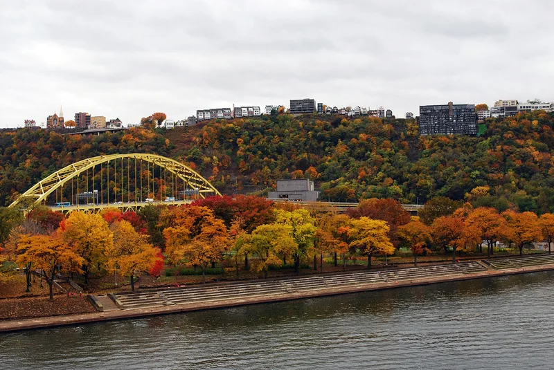

Why it's listed
Point State Park occupies the tip of land in Pittsburgh where the Monongahela and Allegheny Rivers join to form the Ohio. In the 18th century this ground was the strategic gateway to the Ohio Valley. Colonial forces began a fort here in 1754 on ground Lt. Col. George Washington had chosen, but the French seized it and completed Fort Duquesne. British and colonial troops under General John Forbes found it destroyed and abandoned in 1758. The British then built Fort Pitt nearby, which withstood Pontiac's uprising, served in the Revolution and was abandoned in 1790. The town of Pittsburgh grew under its protection. Railroad yards and commercial buildings once covered the site, but they have been cleared. Archaeological work in 1942-43 outlined Fort Pitt, and the lower ramparts of the music bastion are on permanent display. The Fort Pitt Museum stands on the Monongahela Bastion site, and a small brick blockhouse is the only original structure.
Significance in brief: Control of this point was central to the French, English and American struggle for North America from the mid-18th century. Fort Duquesne's fall in 1758 broke French power in the Ohio country, and Fort Pitt protected settlers and the growing town of Pittsburgh. The site also held archaeological remains of Fort Pitt.
Machine-generated summary. This summary was generated by a language model from the official nomination document and has not been reviewed line by line by an editor. It may contain errors. Check the source document before relying on any detail. Source: nomination document (PDF) · National Archives catalog entry. NRHP reference 66000643, listed October 15, 1966. Summary generated October 2026 (model claude-sonnet-5-5, prompt v1.0-2026-10-29, confidence medium).
Key facts
| Address | Point Park, Pittsburgh |
|---|---|
| County | Allegheny County |
| Listed | October 15, 1966 |
| Reference number | 66000643 |
| Resource type | Site |
| Period of significance | 1754-1790 |
| Areas of significance | Historic - Non-Aboriginal, Military, Politics/Government |
| Level of significance | National |
| National Historic Landmark | Yes, designated October 9, 1960 |
| Status (as stated in the nomination) | Described as in excellent condition and maintained as a public park, with Fort Pitt's excavated ramparts, a museum and a surviving blockhouse. |
| Acreage | 36 |
| Coordinates | 40.44105, -80.00952 (NPS GIS) |
What listing means for this property
Sites (archaeological sites, battlefields, landscapes) are often listed with a restricted address to protect them from looting or disturbance. Listing is honorary for private owners; federal undertakings on or near the site go through Section 106 review, and state laws may protect burials and artefacts regardless of listing.
General information, not legal or tax advice. Rules change; confirm with your State Historic Preservation Office or a qualified adviser.
Sources and further reading
- National Park Service, National Register of Historic Places database (snapshot May 2026), reference 66000643.
- Nomination form (PDF, National Archives) — catalog entry
- Wikipedia article (used for cross-checking only; text not reproduced here)
- Wikidata Q7208170
- This listing as JSON
Last updated October 2026. Found an error? See the editorial policy for how to report it.