Fort Montgomery Site

Why it's listed
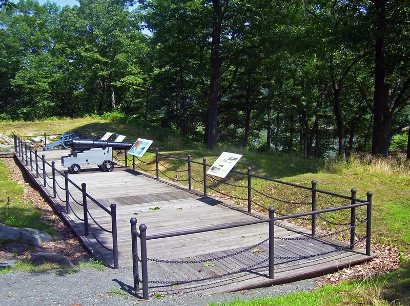
Fort Montgomery is the site of an American Revolutionary War fortress on a 100-foot height above the west shore of the Hudson River, north of Popolopen Creek in what is now Bear Mountain State Park. Built between January 1776 and October 1777, it formed a pair with Fort Clinton across the creek, guarding a great iron chain stretched over the river. On October 6, 1777, Sir Henry Clinton's troops stormed both forts, capturing 263 Americans and 67 cannon. The victory let the British cut the chain and raid upriver for twenty days, destroying Continental defenses and burning Kingston. Today the earthen walls remain, including a redoubt added by Rufus Putnam in 1779. Archeologists have uncovered brick foundations of barracks, storehouses and a bake house. Unlike Fort Clinton, which was disturbed by a bridge approach and museums, Fort Montgomery lies in forest, largely unaltered apart from a highway crossing its western section.
Significance in brief: The fort and its sister fort, Clinton, were taken by Sir Henry Clinton's British force on October 6, 1777. The attack opened the way for a 20-day raid that destroyed American defenses along the Hudson. The site has extensive unaltered ruins in an unimpaired setting.
Machine-generated summary. This summary was generated by a language model from the official nomination document and has not been reviewed line by line by an editor. It may contain errors. Check the source document before relying on any detail. Source: nomination document (PDF) · National Archives catalog entry. NRHP reference 72000897, listed November 28, 1972. Summary generated October 2026 (model claude-sonnet-5-5, prompt v1.0-2026-10-29, confidence medium).
Key facts
| Address | Address restricted by the NPS (common for archaeological sites and some private homes) |
|---|---|
| County | Orange County |
| Listed | November 28, 1972 |
| Reference number | 72000897 |
| Resource type | Site |
| Period of significance | 18th Century (October 6, 1777; 1776-77) |
| Areas of significance | Historic - Non-Aboriginal, Military |
| Level of significance | National, State |
| National Historic Landmark | Yes, designated November 28, 1972 |
| Status (as stated in the nomination) | Ruins in heavy forest, unmarked and not yet open to visitors; archeological work in progress, and the State plans to preserve and interpret it. |
| Acreage | 150 |
| Coordinates | 41.32500, -73.98750 (Wikidata) |
What listing means for this property
Sites (archaeological sites, battlefields, landscapes) are often listed with a restricted address to protect them from looting or disturbance. Listing is honorary for private owners; federal undertakings on or near the site go through Section 106 review, and state laws may protect burials and artefacts regardless of listing.
General information, not legal or tax advice. Rules change; confirm with your State Historic Preservation Office or a qualified adviser.
Sources and further reading
- National Park Service, National Register of Historic Places database (snapshot May 2026), reference 72000897.
- Nomination form (PDF, National Archives) — catalog entry
- Wikipedia article (used for cross-checking only; text not reproduced here)
- Wikidata Q1438627
- This listing as JSON
Last updated October 2026. Found an error? See the editorial policy for how to report it.