Middlesex Canal
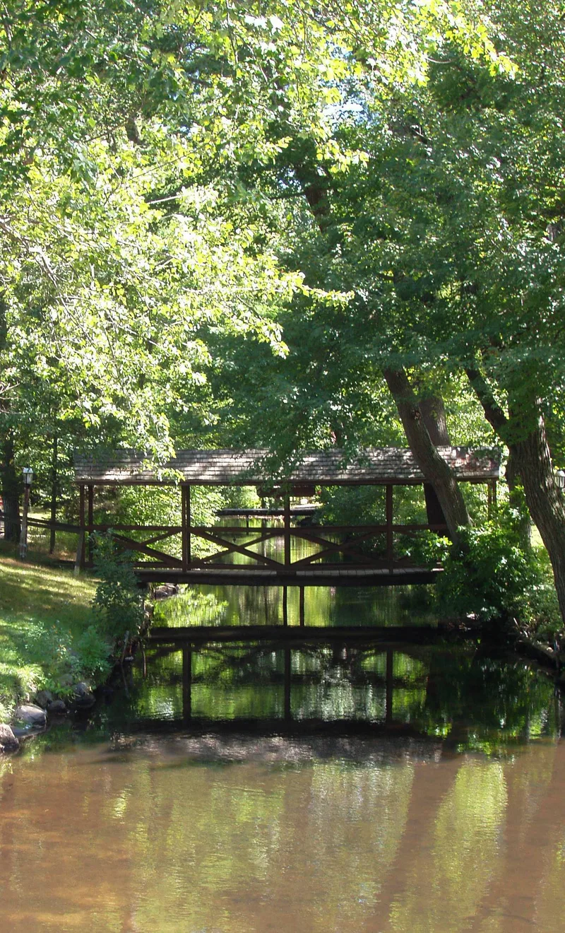

Why it's listed
Running 27.25 miles from the Merrimack River at Lowell to the Charles River in Boston, the Middlesex Canal was completed in 1803, ten years after its incorporation. Planned under James Sullivan and engineered by Loammi Baldwin, it originally had twenty locks, eight aqueducts and forty-eight bridges, with the Concord River at North Billerica as its main water supply. The nomination describes it as the oldest canal of its size in the United States and a model for the Erie Canal, which New York officials came to study in 1817. Baldwin introduced hydraulic cement and the wye level to American work, and a steam tug was tried on the canal in 1812. Traffic peaked in the 1820s and 1830s, then declined after the Boston and Lowell Railroad opened in 1835. Operations ceased by 1853. Today the Shawsheen Aqueduct piers and stretches of trough and towpath survive, while much of the eastern route has been lost to development.
Significance in brief: The nomination calls it the oldest canal of its size built in the United States and a model for later projects such as the Erie Canal. Its construction brought several engineering firsts to the country, including hydraulic cement and the wye level. It opened inland markets and raw materials to Boston.
Machine-generated summary. This summary was generated by a language model from the official nomination document and has not been reviewed line by line by an editor. It may contain errors. Check the source document before relying on any detail. Source: nomination document (PDF) · National Archives catalog entry. NRHP reference 72000117, listed August 21, 1972. Summary generated October 2026 (model claude-sonnet-5-5, prompt v1.0-2026-10-29, confidence medium).
Key facts
| Address | Running SE between towns of Lowell and Woburn, Woburn |
|---|---|
| County | Middlesex County |
| Listed | August 21, 1972 |
| Reference number | 72000117 |
| Resource type | District |
| Period of significance | 19th Century (specific date 1803) |
| Architect / builder | Loammi Baldwin, engineer and builder; James Sullivan, organizational leader |
| Areas of significance | Commerce, Engineering, Transportation |
| Level of significance | National |
| Status (as stated in the nomination) | Condition marked deteriorated and altered. Most locks, bridges and aqueducts have disappeared, though sections of the trough and towpath remain visible in Lowell, Chelmsford, Billerica, Wilmington and north Woburn. Suburban growth threatens the remaining sections. |
| Acreage | 245 |
| Coordinates | 42.57992, -71.24299 (NPS GIS) |
What listing means for this property
This is a historic district. Buildings within its boundary are either contributing (they add to the district's significance) or non-contributing. Owners of contributing income-producing buildings can claim the 20% federal rehabilitation tax credit; homeowners should look at state credits. National Register districts impose no design review by themselves; a local historic district ordinance, if one exists, does (the difference explained).
General information, not legal or tax advice. Rules change; confirm with your State Historic Preservation Office or a qualified adviser.
Sources and further reading
- National Park Service, National Register of Historic Places database (snapshot May 2026), reference 72000117.
- Nomination form (PDF, National Archives) — catalog entry
- Wikipedia article (used for cross-checking only; text not reproduced here)
- Wikidata Q1931907
- This listing as JSON
Last updated October 2026. Found an error? See the editorial policy for how to report it.