Dahlonega Consolidated Gold Mine

Why it's listed
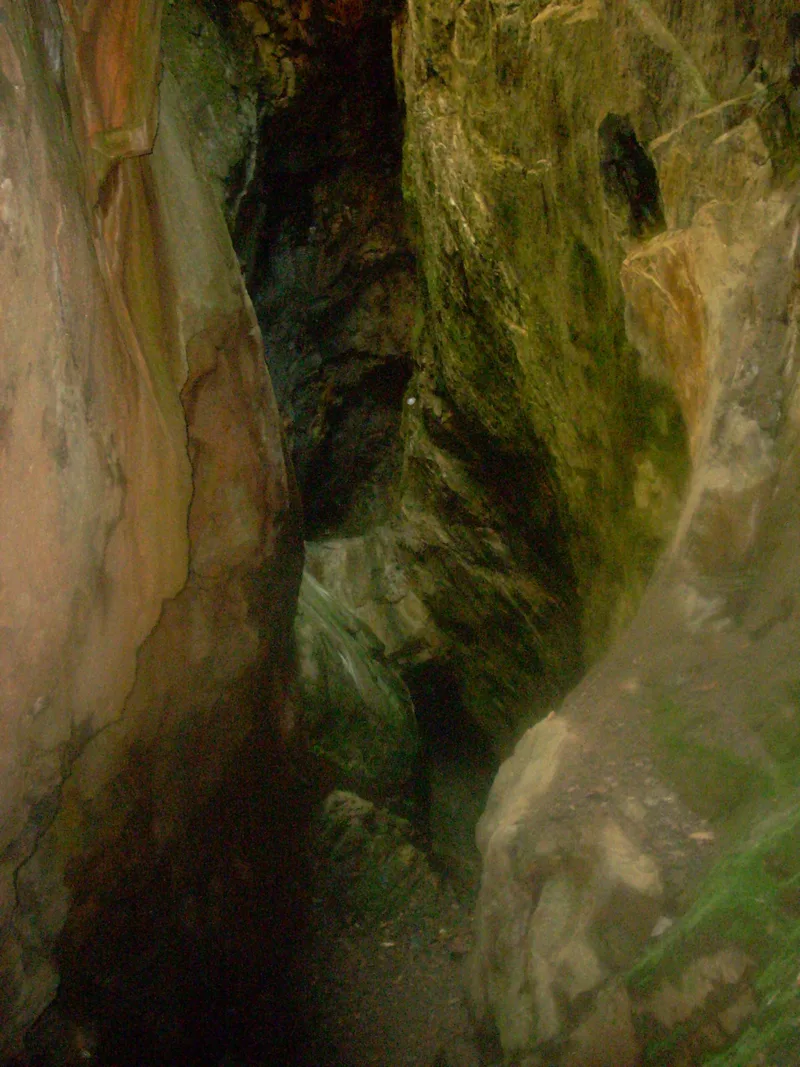
Gold mining remains cover about ninety acres on a hillside and valley bottom northeast of Dahlonega, Georgia. The Dahlonega Consolidated Gold Mining Company began building here in 1899, consolidating ten known mining properties, and the mine opened on May 1, 1900. It was said to be the largest mining complex east of the Mississippi, with a stamp mill, chlorination plant, shaft houses, an assay laboratory and workshops. Chlorination was a process not previously used in Georgia. The company failed in 1906, and the property sold at a trustee's sale for $20,000 against a $175,000 debt. The site later generated electricity for the town until 1921. The stamp mill and chlorination plant were dismantled and sold locally. Surviving features include the corrugated-steel assay building, a fieldstone and brick flue chamber, a 66-foot smokestack, stamp mill foundations and partly collapsed tunnels. Historic photographs suggest many buried resources that have never been excavated.
Significance in brief: The nomination finds the mine significant in commercial history because it was one of the largest gold mines in the country when built, and is said to be the largest mining complex constructed east of the Mississippi. It also used chlorination, a process new to Georgia. The site holds substantial archaeological potential in buried remains that have not yet been investigated.
Machine-generated summary. This summary was generated by a language model from the official nomination document and has not been reviewed line by line by an editor. It may contain errors. Check the source document before relying on any detail. Source: nomination document (PDF) · National Archives catalog entry. NRHP reference 80001111, listed February 27, 1980. Summary generated October 2026 (model claude-sonnet-5-5, prompt v1.0-2026-10-29, confidence medium).
Key facts
| Address | NE of Dahlonega, Dahlonega |
|---|---|
| County | Lumpkin County |
| Listed | February 27, 1980 |
| Reference number | 80001111 |
| Resource type | District |
| Period of significance | 1800-1899, 1900- |
| Architect / builder | Unknown |
| Areas of significance | Commerce, Historic - Non-Aboriginal |
| Level of significance | State |
| Status (as stated in the nomination) | Condition listed as deteriorated, ruins and fair. The mine is partially collapsed, the stamp mill and chlorination plant were dismantled, and the assay building is the only mining building left. |
| Acreage | 92.5 |
| Coordinates | 34.54086, -83.96886 (NPS GIS) |
What listing means for this property
This is a historic district. Buildings within its boundary are either contributing (they add to the district's significance) or non-contributing. Owners of contributing income-producing buildings can claim the 20% federal rehabilitation tax credit; homeowners should look at state credits. National Register districts impose no design review by themselves; a local historic district ordinance, if one exists, does (the difference explained).
General information, not legal or tax advice. Rules change; confirm with your State Historic Preservation Office or a qualified adviser.
Sources and further reading
- National Park Service, National Register of Historic Places database (snapshot May 2026), reference 80001111.
- Nomination form (PDF, National Archives) — catalog entry
- Wikipedia article (used for cross-checking only; text not reproduced here)
- Wikidata Q5163285
- This listing as JSON
Last updated October 2026. Found an error? See the editorial policy for how to report it.