Upper Roxborough Historic District

Why it's listed
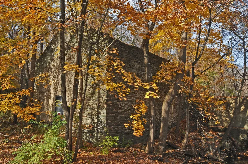
Along the Schuylkill River in northwestern Philadelphia, extending into Montgomery County, this district preserves a landscape of eighteenth- to early twentieth-century farms, mills, quarries, estate houses and rail-related structures. Settlement began in the early 1700s, principally by people of German heritage, and paper milling was the earliest and later dominant industry, beginning with Anthony Newhouse's mill at Trout Run in the second quarter of the eighteenth century. The Riverside Mills complex grew from a front volume built in 1792 into a large nineteenth-century complex begun by Edwin R. Cope in 1856. Soapstone and schist quarries supplied stone, and the Philadelphia, Germantown and Norristown Railroad, opened through the district in 1835, brought wealthy Philadelphians who built summer estates. Its high degree of integrity distinguishes it from neighboring riverside areas. Mid-nineteenth-century Italianate and Queen Anne houses, workers' houses and barns illustrate its architectural range.
Significance in brief: The nomination argues the district is significant under Criterion A for its agricultural development from the late 18th to mid-19th century, for milling and quarrying powered by the Schuylkill River and feeder streams, and for its association with railroad transportation. It is also argued to meet Criterion C for its range of regional architectural styles and Criterion D for industrial and domestic sites that may yield information about German-heritage communities.
Machine-generated summary. This summary was generated by a language model from the official nomination document and has not been reviewed line by line by an editor. It may contain errors. Check the source document before relying on any detail. Source: nomination document (PDF) · National Archives catalog entry. NRHP reference 01000463, listed May 2, 2001. Summary generated October 2026 (model claude-haiku-5-5, prompt v1.1-2026-10-29, confidence medium).
Key facts
| Address | Roughly bounded by Shawmont Ave., Hagy's Mill Rd., and Schuylkill R., Philadelphia |
|---|---|
| County | Philadelphia |
| Listed | May 2, 2001 |
| Reference number | 01000463 |
| Resource type | District |
| Period of significance | 1720-1940 |
| Architectural style | Colonial; Mid-19th Century: Greek Revival, Italianate, Romanesque Revival; Late Victorian: Queen Anne; Late 19th and 20th Century Revivals: Classical Revival, Arts and Crafts, Tudor Revival, Pueblo, Bungalow |
| Criteria |
|
| Areas of significance | Agriculture, Architecture, Historic - Non-Aboriginal, Industry, Transportation |
| Level of significance | Local |
| Status (as stated in the nomination) | Historic agricultural and industrial activities have almost all ceased, and the district is now primarily residential; the Schuylkill Center for Environmental Education maintains the core as a nature preserve. |
| Acreage | 711 |
| Coordinates | 40.05860, -75.25038 (NPS GIS) |
What listing means for this property
This is a historic district. Buildings within its boundary are either contributing (they add to the district's significance) or non-contributing. Owners of contributing income-producing buildings can claim the 20% federal rehabilitation tax credit; homeowners should look at state credits. National Register districts impose no design review by themselves; a local historic district ordinance, if one exists, does (the difference explained).
General information, not legal or tax advice. Rules change; confirm with your State Historic Preservation Office or a qualified adviser.
Sources and further reading
- National Park Service, National Register of Historic Places database (snapshot May 2026), reference 01000463.
- Nomination form (PDF, National Archives) — catalog entry
- Wikipedia article (used for cross-checking only; text not reproduced here)
- Wikidata Q7898886
- This listing as JSON
Last updated October 2026. Found an error? See the editorial policy for how to report it.