Bunker Hill Monument

Why it's listed
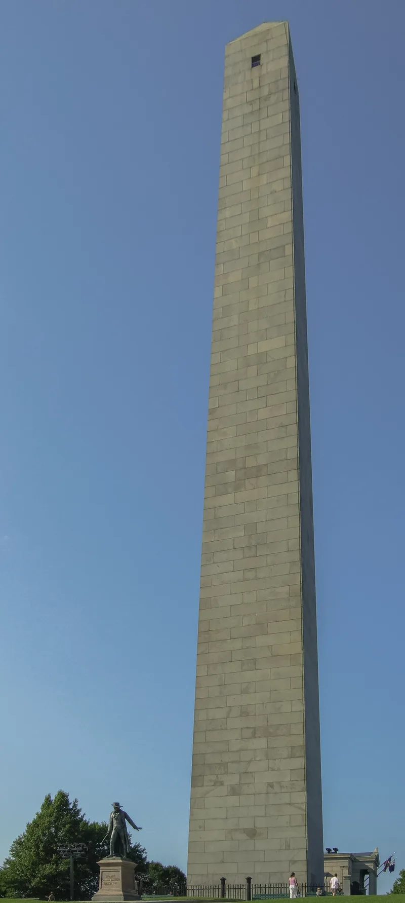
Atop Breed's Hill in Boston's Charlestown district, a 220-foot granite obelisk rises from a park of just under four acres known as Monument Square. Designed and supervised by Solomon Willard, it was built from Quincy granite between 1825 and 1842 and marks the approximate center of the redoubt that American militia held on June 17, 1775. That clash, traditionally called the Battle of Bunker Hill, was the first full-scale action between colonial militia and British regulars in the Revolutionary War. The Americans were driven off after a third assault, but their heavy losses to the British convinced the British command that the rebellion would be hard to put down. The Bunker Hill Monument Association laid the cornerstone with Lafayette in 1825 and later sold most of its 25 acres to cover costs. The grounds include an iron fence with gates honoring American units, a statue of Col. William Prescott, and a 1902 granite lodge. The state took ownership in 1919.
Significance in brief: The monument marks the approximate center of the American redoubt in the Battle of Bunker Hill on June 17, 1775, the first full-scale action between American militia and British regulars in the Revolutionary War. It was also the most ambitious commemorative structure of its day, not surpassed in size until the Washington Monument. Willard's machines for quarrying and handling large stones were an engineering advance.
Machine-generated summary. This summary was generated by a language model from the official nomination document and has not been reviewed line by line by an editor. It may contain errors. Check the source document before relying on any detail. Source: nomination document (PDF) · National Archives catalog entry. NRHP reference 66000138, listed October 15, 1966. Summary generated October 2026 (model claude-sonnet-5-5, prompt v1.0-2026-10-29, confidence high).
Key facts
| Address | Breed's Hill, Boston |
|---|---|
| County | Suffolk County |
| Listed | October 15, 1966 |
| Reference number | 66000138 |
| Resource type | Structure |
| Period of significance | 1775, 1825-42 |
| Architect / builder | Solomon Willard |
| Areas of significance | Military, Communications |
| Level of significance | National |
| National Historic Landmark | Yes, designated January 20, 1961 |
| Status (as stated in the nomination) | Described as in only fair condition, with extensive rehabilitation under way in preparation for the 200th anniversary of the battle. Owned by the Commonwealth of Massachusetts and open to visitors daily. |
| Acreage | 3.8 |
| Within district | Boston National Historical Park |
| Coordinates | 42.37618, -71.06086 (NPS GIS) |
What listing means for this property
For a publicly owned building or structure, listing mainly matters when federal funds, permits or licences are involved: projects then go through Section 106 review so effects on the property are considered. Listing also strengthens applications for preservation grants and, for leased income-producing uses, can enable the federal rehabilitation tax credit.
General information, not legal or tax advice. Rules change; confirm with your State Historic Preservation Office or a qualified adviser.
Sources and further reading
- National Park Service, National Register of Historic Places database (snapshot May 2026), reference 66000138.
- Nomination form (PDF, National Archives) — catalog entry
- Wikipedia article (used for cross-checking only; text not reproduced here)
- Wikidata Q1009561
- This listing as JSON
Last updated October 2026. Found an error? See the editorial policy for how to report it.