Upperville Historic District (Additional Documentation)
Also known as: Dhr Id 030-5438

Why it's listed
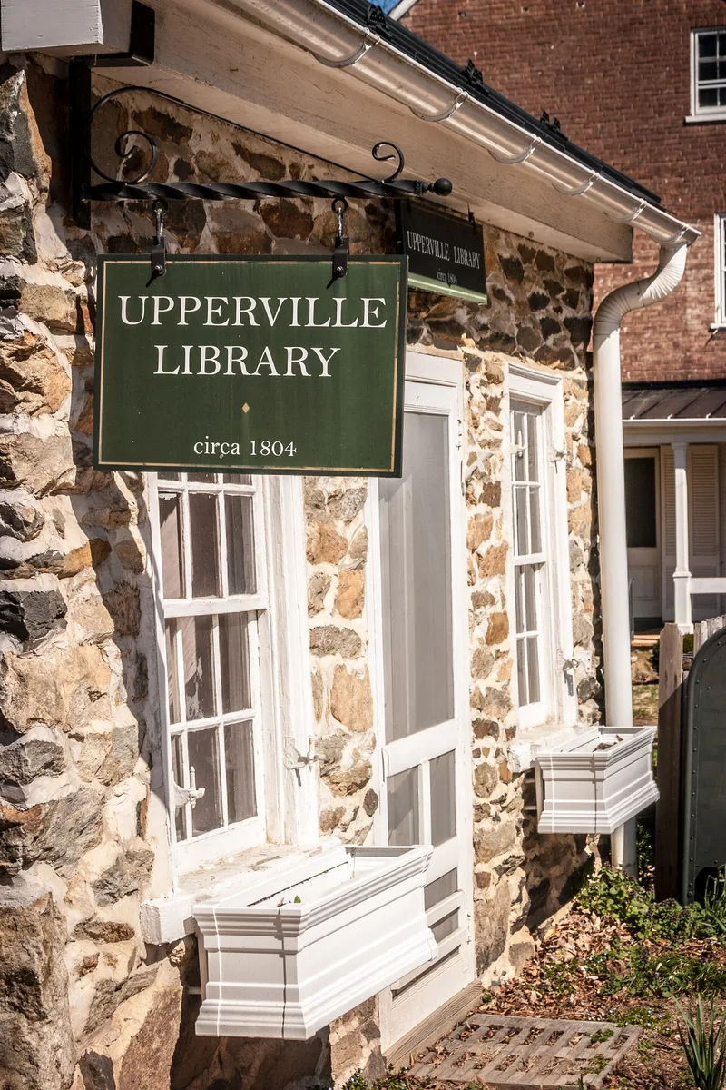
Upperville is a linear village stretched along U.S. Route 50 for about one mile in Fauquier County, Virginia. Joseph Carr laid it out in 1797 as Carrtown, with commerce at the west end and homes at the east, and the General Assembly established it as a town in 1818. Nearly all of the original fifty lots faced the highway, and that pattern survives because the town has seen no major expansion since the Civil War. Of some seventy-five buildings, at least fifty date from the nineteenth century, most in a modest country Federal style of stone, brick or frame. Landmarks include the 1832 United Methodist Church, the Carr houses, Doctor Smith's stone house and the mid-1950s Trinity Episcopal Church complex. Surrounding estates have kept strip development away. The town is also known for the country's oldest horse show, founded in 1853, and for its place in Virginia's hunt country, which together with its intact planning and architecture led to its listing.
Significance in brief: The nomination describes Upperville as one of the most picturesque and unspoiled villages in northern Virginia and a focal point of Virginia's "Hunt Country." It is tied to equine sports, including the country's oldest horse show, founded in 1853. Its planned layout and largely intact 19th-century architecture, mostly country Federal, add to its significance.
Machine-generated summary. This summary was generated by a language model from the official nomination document and has not been reviewed line by line by an editor. It may contain errors. Check the source document before relying on any detail. Source: nomination document (PDF) · National Archives catalog entry. NRHP reference 72001394, listed October 18, 1972. Summary generated October 2026 (model claude-sonnet-5-5, prompt v1.0-2026-10-29, confidence medium).
Key facts
| Address | Along US 50/John S. Mosby Hwy. intersecting Patrick St., Delaplane Grade Rd., Parker and Lafayette Sts., Poplar Row and Crofton Lns., Upper Rd., Walnut St., Brooks Cluster Cir.., Upperville |
|---|---|
| County | Fauquier County |
| Listed | October 18, 1972 |
| Reference number | 72001394 |
| Resource type | District |
| Architectural style | Predominantly country Federal, with Greek Revival, Italianate, Victorian Gothic and French Medieval influences |
| Areas of significance | Transportation |
| Level of significance | Local |
| Status (as stated in the nomination) | Marked as good condition, unaltered and on its original site; the district is occupied and in use for commercial, private residential and religious purposes. |
| Acreage | 480 |
| Within district | Unison Battlefield Historic District |
| Coordinates | 38.99199, -77.88181 (NPS GIS) |
What listing means for this property
This is a historic district. Buildings within its boundary are either contributing (they add to the district's significance) or non-contributing. Owners of contributing income-producing buildings can claim the 20% federal rehabilitation tax credit; homeowners should look at state credits. National Register districts impose no design review by themselves; a local historic district ordinance, if one exists, does (the difference explained).
General information, not legal or tax advice. Rules change; confirm with your State Historic Preservation Office or a qualified adviser.
Sources and further reading
- National Park Service, National Register of Historic Places database (snapshot May 2026), reference 72001394.
- Nomination form (PDF, National Archives) — catalog entry
- Wikipedia article (used for cross-checking only; text not reproduced here)
- Wikidata Q14713422
- This listing as JSON
Last updated October 2026. Found an error? See the editorial policy for how to report it.