Hardens

Why it's listed
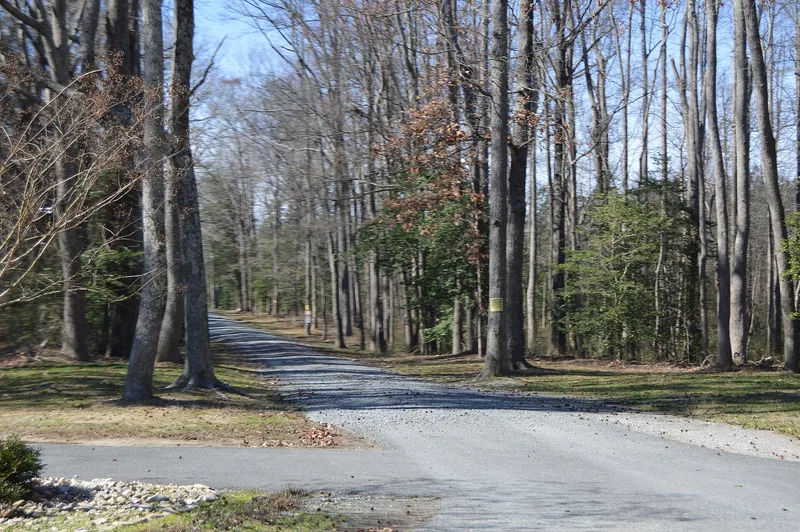
Hardens is a 554-acre farm on the east bank of the James River in Charles City County, Virginia. Its land was first defined in 1638 as a 750-acre patent, and it has remained a recognizable farming unit for nearly three and a half centuries. In the early 1800s it served as a corn and grain quarter for Shirley plantation. Hill Carter had the present 1½-story frame house built around 1845-46 for his son Lewis Warrington Carter, and an eastern bay was added about 1849. David Walker Haxall of Richmond bought the farm in 1852 and built a sawmill in the woods to supply family milling interests. During the Civil War a Union communications station operated here, and General Philip Sheridan rested at Hardens in 1864. Nearby excavations suggest occupation from the Archaic through Woodland periods, so the fields may hold significant archaeological remains. Outbuildings, an orchard and old trees survive near the house.
Significance in brief: The tract has been kept as a distinct agricultural unit since a 750-acre patent in 1638 and once served as a quarter of Shirley plantation. The modest house is a typical example of mid-19th century Virginia vernacular architecture. The farm was also used by Union forces during the Civil War, and its undisturbed fields and former sawmill site may hold prehistoric and historic archaeological remains.
Machine-generated summary. This summary was generated by a language model from the official nomination document and has not been reviewed line by line by an editor. It may contain errors. Check the source document before relying on any detail. Source: nomination document (PDF) · National Archives catalog entry. NRHP reference 83003266, listed February 10, 1983. Summary generated October 2026 (model claude-sonnet-5-5, prompt v1.0-2026-10-29, confidence medium).
Key facts
| Address | W of Lamptie Hill on VA 5, Lamptie Hill |
|---|---|
| County | Charles City County |
| Listed | February 10, 1983 |
| Reference number | 83003266 |
| Resource type | Building |
| Period of significance | 1600-1699, 1700-1799, 1800-1899 (prehistoric archaeology also checked) |
| Architect / builder | Unknown (for house); tax records credit Hill Carter with building it |
| Architectural style | Virginia vernacular, with Greek Revival-style mantels |
| Areas of significance | Industry, Agriculture, Military, Architecture |
| Level of significance | State |
| Status (as stated in the nomination) | Farm remains in agricultural use as woodland and pasture; the house was undergoing extensive rehabilitation at the time of the form, and the former kitchen has been converted to a residence. |
| Acreage | 554 |
| Coordinates | 37.37286, -77.23362 (NPS GIS) |
What listing means for this property
National Register listing is honorary: it recognises significance and does not restrict what a private owner may do without federal money or permits. It unlocks the 20% federal rehabilitation tax credit for income-producing buildings, state credits in many states, and Section 106 review when federal agencies are involved. See what listing means in practice.
General information, not legal or tax advice. Rules change; confirm with your State Historic Preservation Office or a qualified adviser.
Sources and further reading
- National Park Service, National Register of Historic Places database (snapshot May 2026), reference 83003266.
- Nomination form (PDF, National Archives) — catalog entry
- Wikipedia article (used for cross-checking only; text not reproduced here)
- Wikidata Q14712476
- This listing as JSON
Last updated October 2026. Found an error? See the editorial policy for how to report it.