Riverside Industrial Historic District
Also known as: Asheville Wholesale District

Why it's listed
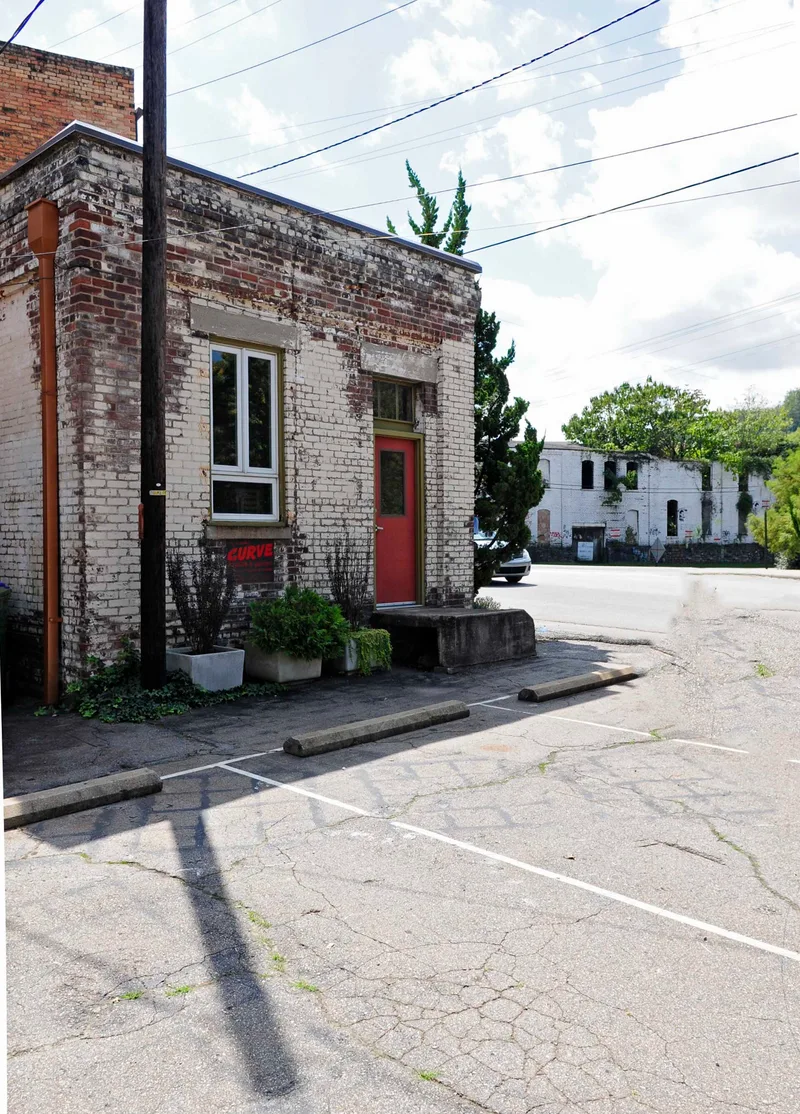
Along the east bank of the French Broad River southwest of downtown Asheville, this district grew around the railroad that reached the city in 1880. Level riverside land and rail access drew mills, coal and ice companies, feed businesses, machine shops and wholesale warehouses. The Southern Railway tracks form the spine of the district, with 27 contributing buildings and one contributing structure among its 32 resources. Surviving buildings include a ca. 1915 brick feed mill, a ca. 1905 Italianate coal and ice plant, and 1930s and 1940s warehouses on Clingman Avenue. A modern bridge, built in 1974, and a 1995 fire that destroyed one of the largest mills changed the riverfront. Many large-interior buildings now serve as artist studios. The district was recognized for its importance to Asheville's commerce and industry and for its architecture, with a period of significance from about 1880 to 1954 and 1916, the year of a major flood, noted as a significant date.
Significance in brief: The district is significant under Criteria A and C for its role in Asheville's commerce and industry, which grew up around the railroad from 1880 onward. It holds mills, warehouses, wholesale and manufacturing buildings in Italianate, Commercial and Late Victorian styles. The period of significance runs from ca. 1880 to 1954.
Machine-generated summary. This summary was generated by a language model from the official nomination document and has not been reviewed line by line by an editor. It may contain errors. Check the source document before relying on any detail. Source: nomination document (PDF) · National Archives catalog entry. NRHP reference 04000825, listed August 11, 2004. Summary generated October 2026 (model claude-sonnet-5-5, prompt v1.0-2026-10-29, confidence medium).
Key facts
| Address | Roughly bounded by Clingman Ave., Lyman St., Roberts St., and Riverside Dr., Asheville |
|---|---|
| County | Buncombe County |
| Listed | August 11, 2004 |
| Reference number | 04000825 |
| Resource type | District |
| Period of significance | Ca. 1880-1954 |
| Architectural style | Italianate, Commercial Style, Late Victorian, No style |
| Criteria |
|
| Areas of significance | Commerce, Industry, Architecture |
| Level of significance | Local |
| Status (as stated in the nomination) | Many former industrial buildings with large open interiors have been rehabilitated, and a number are used as artist studios; some are used for storage or are vacant or not in use. A 1995 fire destroyed the Earle-Chesterfield Mill and badly damaged the Asheville Cotton Mill. |
| Acreage | 39 |
| Coordinates | 35.58610, -82.56640 (NPS GIS) |
What listing means for this property
This is a historic district. Buildings within its boundary are either contributing (they add to the district's significance) or non-contributing. Owners of contributing income-producing buildings can claim the 20% federal rehabilitation tax credit; homeowners should look at state credits. National Register districts impose no design review by themselves; a local historic district ordinance, if one exists, does (the difference explained).
General information, not legal or tax advice. Rules change; confirm with your State Historic Preservation Office or a qualified adviser.
Sources and further reading
- National Park Service, National Register of Historic Places database (snapshot May 2026), reference 04000825.
- Nomination form (PDF, National Archives) — catalog entry
- Wikipedia article (used for cross-checking only; text not reproduced here)
- Wikidata Q18157375
- This listing as JSON
Last updated October 2026. Found an error? See the editorial policy for how to report it.