Spring Hill Historic District

Why it's listed
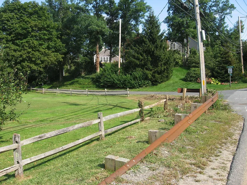
Spring Hill is a rural district in East Sandwich, Massachusetts, set between Shawme Marsh and Scorton Marsh and ringed by salt marshes, cranberry bogs and open fields. It contains 93 contributing resources, among them dwellings, outbuildings, four cranberry bogs, a mill pond, two Quaker burial grounds and a cemetery established in 1813. Narrow, winding roads lined with stone walls link houses ranging from the mid 17th-century Wing Fort House to Greek Revival cottages and later infill. The area developed around a Quaker community, with day and boarding schools run by the Wing family. Early mills on Spring Hill Creek produced grain, staves for glass shipping barrels and, from 1895, cut and engraved glass. By the 1880s many farmers had turned to cranberry growing. The district was recognized for this surviving combination of scenic landscape, agricultural and industrial history, and architecture from the mid 17th century through 1960.
Significance in brief: The district preserves a cohesive agricultural and coastal landscape of salt marsh, cranberry bogs and vernacular Cape Cod houses. Its history includes a long-established Quaker community, early milling and industrial sites, cranberry cultivation and Quaker schools. The houses show a continuous run of local architecture from the 18th century through the mid 20th century.
Machine-generated summary. This summary was generated by a language model from the official nomination document and has not been reviewed line by line by an editor. It may contain errors. Check the source document before relying on any detail. Source: nomination document (PDF) · National Archives catalog entry. NRHP reference 10000862, listed October 28, 2010. Summary generated October 2026 (model claude-sonnet-5-5, prompt v1.0-2026-10-29, confidence medium).
Key facts
| Address | Roughly bounded by MA RTE 6A, Spring Hill Rd, and Discovery Hill Rd, Sandwich |
|---|---|
| County | Barnstable County |
| Listed | October 28, 2010 |
| Reference number | 10000862 |
| Resource type | District |
| Period of significance | Mid 17th century to 1960 |
| Architectural style | Colonial (New England Colonial, Georgian), Federal, Greek Revival, Colonial Revival, Bungalow/Craftsman |
| Areas of significance | Architecture, Community Planning and Development |
| Level of significance | Local |
| Status (as stated in the nomination) | Most contributing resources are still in residential use. Cranberry bogs, outbuildings, burial grounds and a religious facility also remain in current use. |
| Acreage | 117 |
| Coordinates | 41.74747, -70.46261 (NPS GIS) |
What listing means for this property
This is a historic district. Buildings within its boundary are either contributing (they add to the district's significance) or non-contributing. Owners of contributing income-producing buildings can claim the 20% federal rehabilitation tax credit; homeowners should look at state credits. National Register districts impose no design review by themselves; a local historic district ordinance, if one exists, does (the difference explained).
General information, not legal or tax advice. Rules change; confirm with your State Historic Preservation Office or a qualified adviser.
Sources and further reading
- National Park Service, National Register of Historic Places database (snapshot May 2026), reference 10000862.
- Nomination form (PDF, National Archives) — catalog entry
- Wikipedia article (used for cross-checking only; text not reproduced here)
- Wikidata Q16900421
- This listing as JSON
Last updated October 2026. Found an error? See the editorial policy for how to report it.