San Diego Presidio

Why it's listed
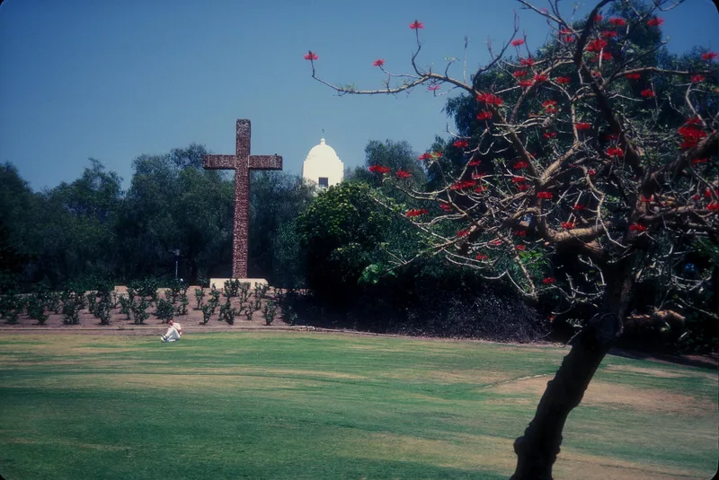
Presidio Hill in San Diego holds the buried remains of a Spanish fort founded in 1769. Here Father Junipero Serra said mass on July 1, 1769, and Governor Gaspar de Portola took formal possession of California for Spain. Two weeks later Serra founded Mission San Diego de Alcala, the first mission in Upper California. The presidio began as a crude stockade and was later rebuilt with adobe walls. From 1769 to 1776 it served as the base for expeditions seeking new routes and mission sites, and until 1837 it remained the seat of military authority for southern California. It also housed the governor from 1825 to 1829. Decay set in during the 1810s and 1820s, and by 1839 no structure stood. In 1929 George W. Marston donated about 37 acres for a park. Grass-covered mounds now suggest the old ground plan, and only the archeological remains define the landmark.
Significance in brief: It marks the first permanent European settlement on the Pacific coast of the United States and the founding of the first mission in California, Mission San Diego de Alcala. It served as a base for exploration and as the seat of military jurisdiction for southern California from 1776 to 1837, and as the governor's residence under Mexican rule from 1825 to 1829.
Machine-generated summary. This summary was generated by a language model from the official nomination document and has not been reviewed line by line by an editor. It may contain errors. Check the source document before relying on any detail. Source: nomination document (PDF) · National Archives catalog entry. NRHP reference 66000226, listed October 15, 1966. Summary generated October 2026 (model claude-sonnet-5-5, prompt v1.0-2026-10-29, confidence medium).
Key facts
| Address | Presidio Park, San Diego |
|---|---|
| County | San Diego County |
| Listed | October 15, 1966 |
| Reference number | 66000226 |
| Resource type | Site |
| Period of significance | 1769 |
| Areas of significance | Exploration/Settlement |
| Level of significance | National |
| National Historic Landmark | Yes, designated October 9, 1960 |
| Status (as stated in the nomination) | Largely unexposed and covered by park roads and landscaping; grass-covered mounds outline former walls and buildings; excavations by San Diego State University were underway. Condition marked good and altered. |
| Acreage | 18 |
| Coordinates | 32.75830, -117.19402 (NPS GIS) |
What listing means for this property
Sites (archaeological sites, battlefields, landscapes) are often listed with a restricted address to protect them from looting or disturbance. Listing is honorary for private owners; federal undertakings on or near the site go through Section 106 review, and state laws may protect burials and artefacts regardless of listing.
General information, not legal or tax advice. Rules change; confirm with your State Historic Preservation Office or a qualified adviser.
Sources and further reading
- National Park Service, National Register of Historic Places database (snapshot May 2026), reference 66000226.
- Nomination form (PDF, National Archives) — catalog entry
- Wikipedia article (used for cross-checking only; text not reproduced here)
- Wikidata Q605760
- This listing as JSON
Last updated October 2026. Found an error? See the editorial policy for how to report it.