Falmouth Historic District
Also known as: See Also:Belmont; Carlton; Clearview

Why it's listed
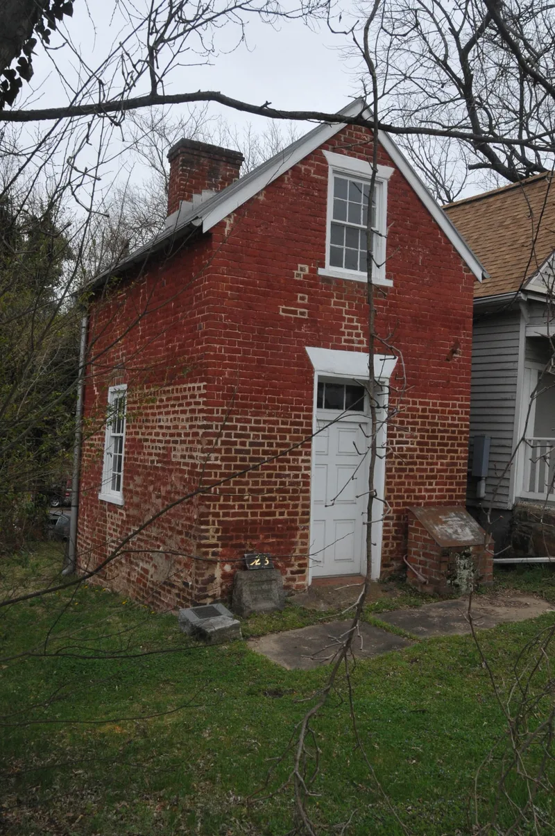
Falmouth is a small river port on the Rappahannock in Stafford County, Virginia, laid out in 1727 on fifty acres belonging to William Todd and governed by seven trustees appointed by the House of Burgesses. The town prospered and for a time rivaled Fredericksburg, serving as an important mercantile center through the eighteenth century and into the nineteenth. By 1845 it had mills, stores and a cotton factory, though its fortunes were declining. The preservation zone takes in frame, brick and stone buildings, most of them plain, including a Customs House, a tavern, the Moncure-Conway House, and the houses Belmont, Carlton and Clearview on the surrounding hills. Belmont was once home to painter Gari Melchers. Route 1 and new commercial buildings at a main intersection have damaged the town, but enough old structures remain to show the character of the port. Its low riverside rows and hilltop houses give Falmouth its identity.
Significance in brief: Falmouth was one of Virginia's important mercantile centers in the eighteenth and early nineteenth centuries and rivaled nearby Fredericksburg. Enough eighteenth- and nineteenth-century buildings survive, whether frame, brick or stone, to show the extent and character of the old port and trading town. Its hillside and riverside setting, with three mansions overlooking the town, gives it a distinct identity.
Machine-generated summary. This summary was generated by a language model from the official nomination document and has not been reviewed line by line by an editor. It may contain errors. Check the source document before relying on any detail. Source: nomination document (PDF) · National Archives catalog entry. NRHP reference 70000825, listed February 26, 1970. Summary generated October 2026 (model claude-sonnet-5-5, prompt v1.0-2026-10-29, confidence medium).
Key facts
| Address | Jct. of U.S. 1 and U.S. 17, Falmouth |
|---|---|
| County | Stafford County |
| Listed | February 26, 1970 |
| Reference number | 70000825 |
| Resource type | District |
| Period of significance | 18th Century |
| Areas of significance | Commerce, Architecture |
| Level of significance | State |
| Status (as stated in the nomination) | Condition is rated fair and altered; the district is occupied and used for commercial, private residential and religious purposes. Union Methodist Church is a ruin with only its west facade and parts of two walls left. |
| Acreage | 225 |
| Coordinates | 38.32416, -77.46599 (NPS GIS) |
What listing means for this property
This is a historic district. Buildings within its boundary are either contributing (they add to the district's significance) or non-contributing. Owners of contributing income-producing buildings can claim the 20% federal rehabilitation tax credit; homeowners should look at state credits. National Register districts impose no design review by themselves; a local historic district ordinance, if one exists, does (the difference explained).
General information, not legal or tax advice. Rules change; confirm with your State Historic Preservation Office or a qualified adviser.
Sources and further reading
- National Park Service, National Register of Historic Places database (snapshot May 2026), reference 70000825.
- Nomination form (PDF, National Archives) — catalog entry
- Wikipedia article (used for cross-checking only; text not reproduced here)
- Wikidata Q15217304
- This listing as JSON
Last updated October 2026. Found an error? See the editorial policy for how to report it.