Meadow Grove Farm
Also known as: 078-0059

Why it's listed
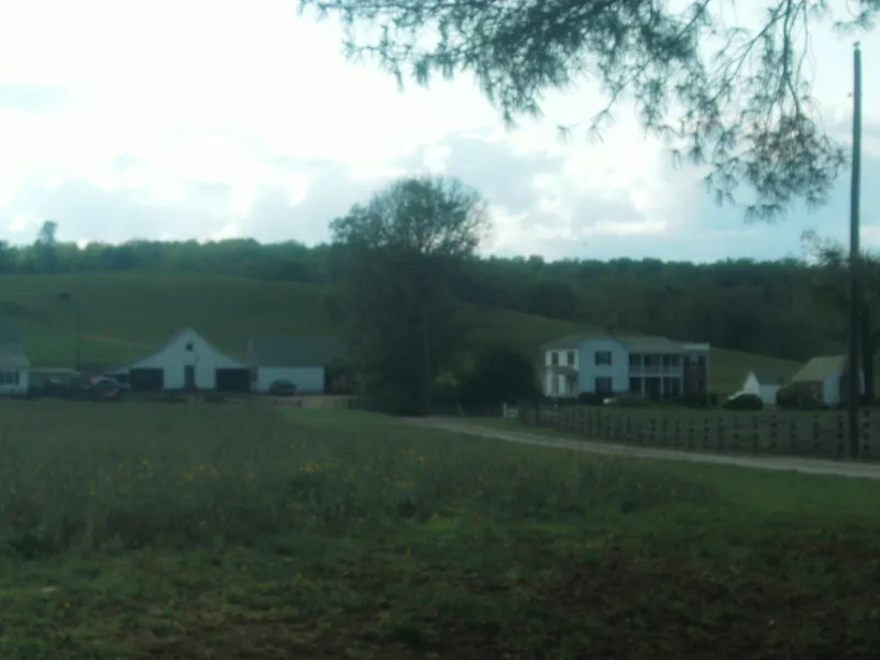
Meadow Grove Farm is a working farm of about 346 acres west of Amissville in Rappahannock County, Virginia, set near Battle Run and below Aaron Mountain. Its 22 resources date from about 1820 to 1965, and 18 contribute to its historic character. The main house grew in four phases. It began as a one-and-a-half-story hand-hewn log dwelling around 1820, gained a two-story Greek Revival hall-and-parlor block in 1860, received a wing in 1881, and was partly rebuilt in brick in 1965. Around the house stand a tenant house or slave quarters, a schoolhouse, a summer kitchen, a meat house, a blacksmith shop, granaries, a corncrib and a barn with a log core. A walled family cemetery holds Massie family graves from 1908 onward. The farm is tied to Moses R. Jones, who improved it in 1860, and to Colonel Thomas B. Massie and his descendants, who farmed and held it into the twentieth century.
Significance in brief: The farm is significant locally for its architecture and for its history as a Rappahannock County agricultural property. The house evolved through four building phases, including an 1860 Greek Revival main block, and the surviving log and frame outbuildings illustrate the working farm. The form also ties the farm to the Jones and Massie families, including Colonel Thomas B. Massie, a Confederate cavalry soldier.
Machine-generated summary. This summary was generated by a language model from the official nomination document and has not been reviewed line by line by an editor. It may contain errors. Check the source document before relying on any detail. Source: nomination document (PDF) · National Archives catalog entry. NRHP reference 06000803, listed September 5, 2006. Summary generated October 2026 (model claude-sonnet-5-5, prompt v1.0-2026-10-29, confidence medium).
Key facts
| Address | 21 Meadow Grove Ln., Amissville |
|---|---|
| County | Rappahannock County |
| Listed | September 5, 2006 |
| Reference number | 06000803 |
| Resource type | District |
| Architectural style | Mid-19th Century/Greek Revival |
| Areas of significance | Architecture, Agriculture |
| Level of significance | Local |
| Status (as stated in the nomination) | Current functions listed include single dwelling, secondary structures, cemetery, and agricultural storage, animal facility and outbuildings. |
| Acreage | 346.8 |
| Coordinates | 38.67985, -78.08142 (NPS GIS) |
What listing means for this property
This is a historic district. Buildings within its boundary are either contributing (they add to the district's significance) or non-contributing. Owners of contributing income-producing buildings can claim the 20% federal rehabilitation tax credit; homeowners should look at state credits. National Register districts impose no design review by themselves; a local historic district ordinance, if one exists, does (the difference explained).
General information, not legal or tax advice. Rules change; confirm with your State Historic Preservation Office or a qualified adviser.
Sources and further reading
- National Park Service, National Register of Historic Places database (snapshot May 2026), reference 06000803.
- Nomination form (PDF, National Archives) — catalog entry
- Wikipedia article (used for cross-checking only; text not reproduced here)
- Wikidata Q15252581
- This listing as JSON
Last updated October 2026. Found an error? See the editorial policy for how to report it.