Octonia Stone
Also known as: Octoney; Octony; Octona; Octuna Stone

Why it's listed
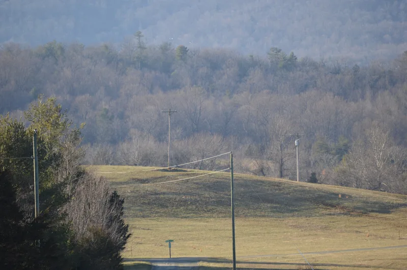
Carved into a granite-type rock outcrop in a hayfield near Stanardsville, the Octonia Stone bears an engraved figure 8 made of two nearly perfect circles, with a cross touching the top. The engraving was probably made in 1721. The outcrop forms a small knoll with a few trees and undergrowth, beside a stream that flows into South River, a branch of the Rapidan River. The stone marks the end of the westernmost boundary line of the 24,000-acre Octonia Grant, awarded in 1722 by Lieutenant Governor Spottswood to eight prominent Virginians. The name probably comes from the Latin for eight. The grant ran from near Spicer's Mill in Orange County to the foot of the Blue Ridge, roughly two miles wide and twenty miles long. Some of its lines survive and underlie many Orange County surveys. Inscribed stone boundary markers were rare in eighteenth-century Virginia, and one this far west is considered unique.
Significance in brief: The stone marks the end of the westernmost boundary line of the 24,000-acre Octonia Grant, made in 1722 by Lieutenant Governor Spottswood to eight prominent Virginians. Inscribed stone boundary markers were rare in Virginia in the eighteenth century, and one this far west is described as unique. Parts of the grant's lines survive and were the basis for many Orange County surveys.
Machine-generated summary. This summary was generated by a language model from the official nomination document and has not been reviewed line by line by an editor. It may contain errors. Check the source document before relying on any detail. Source: nomination document (PDF) · National Archives catalog entry. NRHP reference 70000800, listed September 15, 1970. Summary generated October 2026 (model claude-sonnet-5-5, prompt v1.0-2026-10-29, confidence medium).
Key facts
| Address | N of Stanardsville, off VA 637, Stanardsville |
|---|---|
| County | Greene County |
| Listed | September 15, 1970 |
| Reference number | 70000800 |
| Resource type | Object |
| Period of significance | 18th Century (circa 1721) |
| Areas of significance | Politics/Government |
| Level of significance | State |
| Status (as stated in the nomination) | Condition listed as excellent and unaltered, on its original site; it is part of a rock outcrop in a hayfield. |
| Acreage | 9.9 |
| Coordinates | 38.33322, -78.45362 (NPS GIS) |
What listing means for this property
National Register listing is honorary: it recognises significance and does not restrict what a private owner may do without federal money or permits. It unlocks the 20% federal rehabilitation tax credit for income-producing buildings, state credits in many states, and Section 106 review when federal agencies are involved. See what listing means in practice.
General information, not legal or tax advice. Rules change; confirm with your State Historic Preservation Office or a qualified adviser.
Sources and further reading
- National Park Service, National Register of Historic Places database (snapshot May 2026), reference 70000800.
- Nomination form (PDF, National Archives) — catalog entry
- Wikipedia article (used for cross-checking only; text not reproduced here)
- Wikidata Q14713004
- This listing as JSON
Last updated October 2026. Found an error? See the editorial policy for how to report it.