Floris Historic District
Also known as: DHR File No. 029-5179

Why it's listed
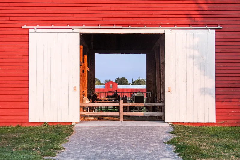
Floris is a small rural village and farming district in western Fairfax County, Virginia, now surrounded by suburban development. Its core is the crossroads of Centreville Road and West Ox Road, with the Frying Pan Meetinghouse to the northwest and two farms, Ellmore and Kidwell, on the east side. Much of the land is part of Frying Pan Farm Park, which preserves and interprets farm life from the 1920s to the 1950s. The meetinghouse, built about 1785, is the earliest building. Most other main resources date from the 1890s to the 1920s and are modest vernacular houses, schools, and a Methodist church, with some Colonial Revival and Gothic Revival details. The district is recognized for showing how a dairy farming community developed in Northern Virginia from the late nineteenth century to about 1960. Its fields, farmsteads, and village layout still convey that agricultural past, although some buildings have been lost or altered and the park has added newer structures.
Significance in brief: The district is argued to be locally significant under Criterion A for agriculture, as a community built on dairy farming from the late nineteenth to mid-twentieth century. It is also significant under Criterion C for vernacular, Gothic Revival and Colonial Revival architecture. Its period of significance ends around 1960, when Frying Pan Farm Park was created and dairying declined.
Machine-generated summary. This summary was generated by a language model from the official nomination document and has not been reviewed line by line by an editor. It may contain errors. Check the source document before relying on any detail. Source: nomination document (PDF). NRHP reference 10000543, listed August 12, 2010. Summary generated October 2026 (model claude-sonnet-5-5, prompt v1.0-2026-10-29, confidence medium).
Key facts
| Address | Bounded by Centreville Rd, W Ox Rd, Monroe St, and Frying Pan Branch, Herndon |
|---|---|
| County | Fairfax (city and county) |
| Listed | August 12, 2010 |
| Reference number | 10000543 |
| Resource type | District |
| Period of significance | circa 1785-circa 1960 |
| Architectural style | Early Republic/Vernacular; Late Gothic Revival; Colonial Revival |
| Criteria |
|
| Areas of significance | Architecture, Agriculture, Community Planning and Development, Education, Entertainment/Recreation, Ethnic Heritage-Black, Social History |
| Level of significance | Local |
| Status (as stated in the nomination) | Much of the district lies within Frying Pan Farm Park, a working farm and interpretive park. Houses and the Methodist Church remain in domestic and religious use. Bowman's Store was demolished in 2008, and the Cherok House site is vacant. |
| Acreage | 138 |
| Coordinates | 38.93757, -77.40738 (NPS GIS) |
What listing means for this property
This is a historic district. Buildings within its boundary are either contributing (they add to the district's significance) or non-contributing. Owners of contributing income-producing buildings can claim the 20% federal rehabilitation tax credit; homeowners should look at state credits. National Register districts impose no design review by themselves; a local historic district ordinance, if one exists, does (the difference explained).
General information, not legal or tax advice. Rules change; confirm with your State Historic Preservation Office or a qualified adviser.
Sources and further reading
- National Park Service, National Register of Historic Places database (snapshot May 2026), reference 10000543.
- Nomination form (PDF, National Archives)
- Wikipedia article (used for cross-checking only; text not reproduced here)
- Wikidata Q5461891
- This listing as JSON
Last updated October 2026. Found an error? See the editorial policy for how to report it.