Cool Spring Battlefield
Also known as: See Also:Wickliffe Church

Why it's listed
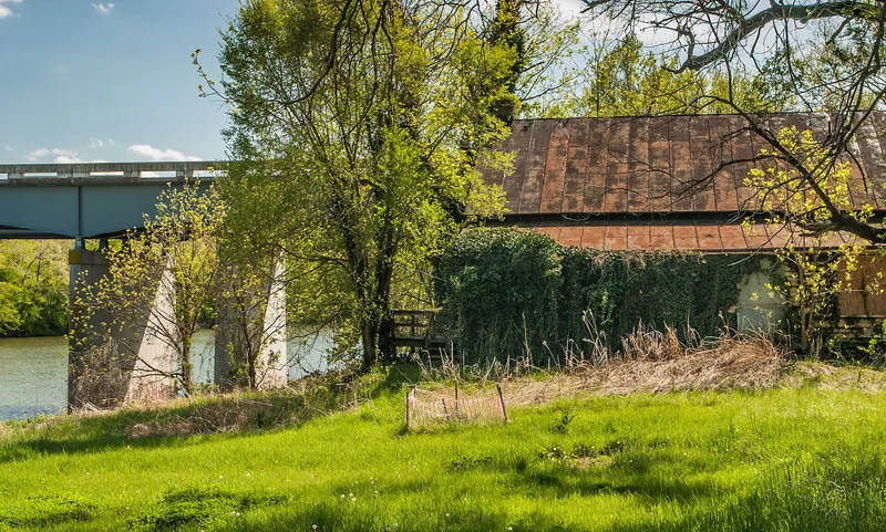
Cool Spring Battlefield occupies roughly three miles of the Shenandoah River valley in northeastern Clarke County, Virginia. The district takes in the ground fought over on July 16-20, 1864, including river bottomland, terraces, limestone ridges, ravines and the gap at Snickers Gap. The fighting took place on two plantations: Cool Spring, on the west bank, and Retreat, on the east. The landscape shaped the engagement. Ravines hid massed Confederate troops from Union view and artillery, while a limestone bluff gave retreating skirmishers a defensible line. The district also holds archaeological sites and mid-19th-century buildings from the plantations, farms, roads, mining and milling that supported the local wheat economy. The battle was part of the campaign that followed Jubal Early's advance to the edge of Washington. The district is recognized for its military history, and its preserved terrain and remains make it possible to reconstruct and interpret the battle.
Significance in brief: The district is significant under Criterion A for its association with the July 16-20, 1864 battle of Cool Spring, part of the Snickers Gap fighting that followed Early's raid on Washington. Its terrain, river, and surviving archaeological and architectural remains allow the battle and its support activities to be documented and interpreted.
Machine-generated summary. This summary was generated by a language model from the official nomination document and has not been reviewed line by line by an editor. It may contain errors. Check the source document before relying on any detail. Source: nomination document (PDF) · National Archives catalog entry. NRHP reference 97000492, listed June 6, 1997. Summary generated October 2026 (model claude-sonnet-5-5, prompt v1.0-2026-10-29, confidence medium).
Key facts
| Address | Jct of Shenandoah R. and VA 643, Berryville |
|---|---|
| County | Clarke County |
| Listed | June 6, 1997 |
| Reference number | 97000492 |
| Resource type | District |
| Period of significance | 1864 |
| Architectural style | Colonial: Georgian; Early Republic: Federal; Mid-19th Century: Greek Revival |
| Criteria |
|
| Areas of significance | Military |
| Level of significance | National |
| Status (as stated in the nomination) | Current uses include roads, dwellings, agricultural fields, a church-related residence, a sports facility and a fire station. |
| Acreage | 4064 |
| Coordinates | 39.13664, -77.87460 (NPS GIS) |
What listing means for this property
This is a historic district. Buildings within its boundary are either contributing (they add to the district's significance) or non-contributing. Owners of contributing income-producing buildings can claim the 20% federal rehabilitation tax credit; homeowners should look at state credits. National Register districts impose no design review by themselves; a local historic district ordinance, if one exists, does (the difference explained).
General information, not legal or tax advice. Rules change; confirm with your State Historic Preservation Office or a qualified adviser.
Sources and further reading
- National Park Service, National Register of Historic Places database (snapshot May 2026), reference 97000492.
- Nomination form (PDF, National Archives) — catalog entry
- Wikipedia article (used for cross-checking only; text not reproduced here)
- Wikidata Q14712203
- This listing as JSON
Last updated October 2026. Found an error? See the editorial policy for how to report it.