Wade Archeological Site (44CH0062)

Why it's listed
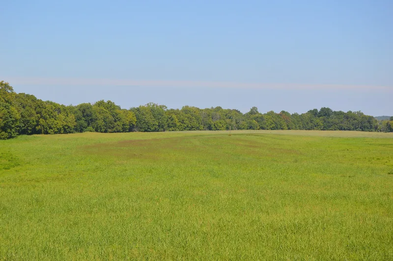
Near Randolph in Charlotte County, Virginia, this Native American village site sits on a gently rising natural levee about 130 meters north of the Staunton River. Occupied from roughly A.D. 1000 to 1450, it covers an area of about 270 by 70 meters. Longwood College field school archaeologists located it in 1996 and excavated parts of it through 1999. They found an undisturbed midden, storage and trash pits, a large hearth, post molds and three burial pits holding five individuals. Artifacts reflect the Dan River culture: sand-tempered pottery, small triangular arrow points, bone fishhooks, awls and beads, shell beads and copper tubular beads. Animal bone from deer, elk, bear, fox, turtle and fish shows what residents ate. The site is considered the likely home of ancestors of the Saponi Indians. Because reservoirs have affected most comparable villages along the river, its well-preserved remains hold unusual research value for understanding community life, trade and status.
Significance in brief: The site is significant under Criterion D for its information potential about the Late Woodland Period and the probable ancestors of the Saponi Indians. Its pits, hearth, post molds, burials and well-preserved bone, shell, copper and food remains can inform study of community organization, trade, status and subsistence. Few similar village sites survive on the middle Roanoke/Staunton River because reservoirs have affected the others.
Machine-generated summary. This summary was generated by a language model from the official nomination document and has not been reviewed line by line by an editor. It may contain errors. Check the source document before relying on any detail. Source: nomination document (PDF) · National Archives catalog entry. NRHP reference 03001194, listed October 23, 2003. Summary generated October 2026 (model claude-sonnet-5-5, prompt v1.0-2026-10-29, confidence high).
Key facts
| Address | 1035 Fort Hill Trail, Randolph |
|---|---|
| County | Charlotte County |
| Listed | October 23, 2003 |
| Reference number | 03001194 |
| Resource type | Site |
| Period of significance | Prehistoric-Late Woodland Period (A.D. 1000-1450) |
| Criteria |
|
| Areas of significance | Prehistoric |
| Level of significance | Local |
| Status (as stated in the nomination) | Open field no longer cultivated; owned by a state park. Excavated burials were documented in place and not removed. |
| Acreage | 5 |
| Coordinates | 36.88717, -78.70451 (NPS GIS) |
What listing means for this property
Sites (archaeological sites, battlefields, landscapes) are often listed with a restricted address to protect them from looting or disturbance. Listing is honorary for private owners; federal undertakings on or near the site go through Section 106 review, and state laws may protect burials and artefacts regardless of listing.
General information, not legal or tax advice. Rules change; confirm with your State Historic Preservation Office or a qualified adviser.
Sources and further reading
- National Park Service, National Register of Historic Places database (snapshot May 2026), reference 03001194.
- Nomination form (PDF, National Archives) — catalog entry
- Wikipedia article (used for cross-checking only; text not reproduced here)
- Wikidata Q14713483
- This listing as JSON
Last updated October 2026. Found an error? See the editorial policy for how to report it.