Georgetown Pike
Also known as: Georgetown & Leesburg Turnpike Road; Falls Bridge Turnpike; Washington & Leesburg Turnpike Rd.; et al.
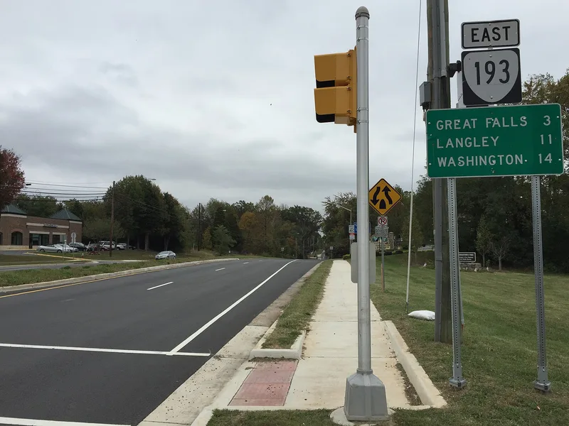

Why it's listed
Georgetown Pike is a 14.4-mile road leading from Chain Bridge on the Potomac River, through Arlington and Fairfax Counties, to the Leesburg Pike near Dranesville. Two private turnpike companies built it between 1813 and 1827 to connect Georgetown markets with farms and mills around Leesburg. Workers using hand tools and horse-drawn equipment laid a crowned roadbed of large fitted stones topped with broken stone, about 18 inches deep at the center, with drainage ditches on both sides. This method adapted the French Tresaguet system to American terrain. The roadbed survived flooding, Civil War damage and neglect, and was repaired and opened to automobiles in 1923 by a third company. Virginia took over the road in 1934. Surviving features include a stone retaining wall at Pimmit Run and a stone and brick bridge over Bull Neck Run. The road is considered the last of four major local turnpikes to keep its original design and scenic character.
Significance in brief: The nomination argues the road was an essential link between the Federal City and the west, and an important part of Virginia's turnpike history and the early automobile era in Northern Virginia. It also embodies Federal-era engineered road construction, using a modified Tresaguet layered-stone method. It is described as the last of four major nineteenth-century Arlington and Fairfax turnpikes to keep its design integrity and historic character.
Machine-generated summary. This summary was generated by a language model from the official nomination document and has not been reviewed line by line by an editor. It may contain errors. Check the source document before relying on any detail. Source: nomination document (PDF) · National Archives catalog entry. NRHP reference 12000537, listed August 12, 2012. Summary generated October 2026 (model claude-sonnet-5-5, prompt v1.0-2026-10-29, confidence high).
Key facts
| Address | From DC/VA boundary at Chain Bridge to jct. with Leesburg Pike at Seneca Rd., Arlington |
|---|---|
| County | Arlington County |
| Listed | August 12, 2012 |
| Reference number | 12000537 |
| Resource type | Structure |
| Period of significance | 1813-1934 |
| Architect / builder | Georgetown & Leesburg Turnpike Company / Falls Bridge Turnpike Company |
| Architectural style | OTHER / Turnpike |
| Criteria |
|
| Areas of significance | Engineering, Transportation |
| Level of significance | Local |
| Status (as stated in the nomination) | Still in use as a road; maintained by the Virginia Department of Transportation, with part of the route designated Virginia's first Scenic and Historic Byway in 1973. |
| Acreage | 86.3 |
| Coordinates | 38.96076, -77.23319 (NPS GIS) |
What listing means for this property
National Register listing is honorary: it recognises significance and does not restrict what a private owner may do without federal money or permits. It unlocks the 20% federal rehabilitation tax credit for income-producing buildings, state credits in many states, and Section 106 review when federal agencies are involved. See what listing means in practice.
General information, not legal or tax advice. Rules change; confirm with your State Historic Preservation Office or a qualified adviser.
Sources and further reading
- National Park Service, National Register of Historic Places database (snapshot May 2026), reference 12000537.
- Nomination form (PDF, National Archives) — catalog entry
- Wikipedia article (used for cross-checking only; text not reproduced here)
- Wikidata Q2508009
- This listing as JSON
Last updated October 2026. Found an error? See the editorial policy for how to report it.