West Laurel Hill Cemetery

Why it's listed
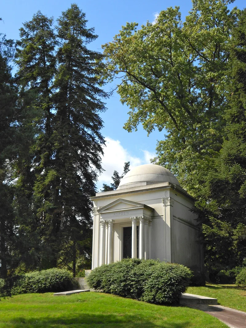
Laid out on a plateau above the Schuylkill River in Bala Cynwyd, West Laurel Hill Cemetery covers about 187 acres in 44 sections divided by winding roads with circular focal points. It was established in 1869 by the founders of the Laurel Hill cemetery, who bought two farms that year and in 1870, and it expanded westward toward Belmont Avenue. The grounds follow the Landscape Lawn system, which limited individual markers and accessories, and they hold many mature trees planted in the early years. The cemetery is regarded as a well-preserved example of the romantic rural cemetery of the later nineteenth century. Its 270 family mausoleums, built from 1875 onward, include the French Second Empire Betz mausoleum of 1885, and its monuments range from 1870s marble stones to Art Deco-era work. Company-built structures include an 1887 bell tower by Cope and Stewardson.
Significance in brief: The nomination argues the cemetery is a well-preserved example of the parklike, romantic rural cemetery of the second generation, with an uncluttered Landscape Lawn layout and a large, mature planting collection. It also holds regionally outstanding funerary art and architecture from the 1870s onward, including the largest mausoleum collection in Pennsylvania, and works by Cope and Stewardson, Horace Trumbauer and Tiffany Studios.
Machine-generated summary. This summary was generated by a language model from the official nomination document and has not been reviewed line by line by an editor. It may contain errors. Check the source document before relying on any detail. Source: nomination document (PDF) · National Archives catalog entry. NRHP reference 92000991, listed August 14, 1992. Summary generated October 2026 (model claude-haiku-5-5, prompt v1.1-2026-10-29, confidence high).
Key facts
| Address | 227 Belmont Ave., Lower Merion Township, Bala Cynwyd |
|---|---|
| County | Montgomery County |
| Listed | August 14, 1992 |
| Reference number | 92000991 |
| Resource type | District |
| Period of significance | 1869-1940 |
| Architect / builder | Trumbauer, Horace; Cope and Stewardson |
| Architectural style | Late Victorian-Gothic; Late 19th and 20th c. Revivals-Classical Revival, Beaux Arts |
| Criteria |
|
| Areas of significance | Landscape Architecture, Art, Architecture |
| Level of significance | State |
| Status (as stated in the nomination) | Continues in active use as a cemetery. |
| Acreage | 187 |
| Within district | Fairmount Park |
| Coordinates | 40.01529, -75.22262 (NPS GIS) |
What listing means for this property
This is a historic district. Buildings within its boundary are either contributing (they add to the district's significance) or non-contributing. Owners of contributing income-producing buildings can claim the 20% federal rehabilitation tax credit; homeowners should look at state credits. National Register districts impose no design review by themselves; a local historic district ordinance, if one exists, does (the difference explained).
General information, not legal or tax advice. Rules change; confirm with your State Historic Preservation Office or a qualified adviser.
Sources and further reading
- National Park Service, National Register of Historic Places database (snapshot May 2026), reference 92000991.
- Nomination form (PDF, National Archives) — catalog entry
- Wikipedia article (used for cross-checking only; text not reproduced here)
- Wikidata Q7985717
- This listing as JSON
Last updated October 2026. Found an error? See the editorial policy for how to report it.