Millheim Historic District
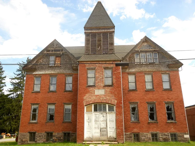

Why it's listed
Millheim is a borough in the Penns Valley of eastern Centre County, Pennsylvania, set along Elk Creek where the stream runs out of the Brush Mountain gap. Settlement began with mills on the creek in the late 1700s, and a formal town plan was laid out in 1797 by Michael and Philip Gunkle. The district's mills, including the Elk Mills complex built by James Duncan in 1817, supplied flour and lumber and supported a range of industries through the nineteenth century, among them woolen and hosiery works, tanneries, and a chair factory. The Buffalo and Penns Valley Turnpike, incorporated in 1810, brought westward travelers and commerce. The district holds about 437 buildings, of which 237 contribute to its character. Its houses include simple I types from around 1800 to 1840, Victorianized I houses, gable-end workers' dwellings from 1890 to 1920, and Italianate and Classical Revival commercial blocks. Relatively few modern intrusions remain.
Significance in brief: The nomination argues the district is significant in the areas of early settlement, industry, transportation and architecture. Millheim grew from mills along Elk Creek into a milling and industrial center for Penns Valley, and it lay on the Buffalo and Penns Valley Turnpike, a major route west. The district also contains a large, well-preserved group of vernacular house types, including Victorianized I houses and workers' housing, with only a small number of intrusive buildings.
Machine-generated summary. This summary was generated by a language model from the official nomination document and has not been reviewed line by line by an editor. It may contain errors. Check the source document before relying on any detail. Source: nomination document (PDF) · National Archives catalog entry. NRHP reference 86000787, listed March 25, 1986. Summary generated October 2026 (model claude-haiku-5-5, prompt v1.1-2026-10-29, confidence medium).
Key facts
| Address | PA 45 and PA 445, Millheim |
|---|---|
| County | Centre County |
| Listed | March 25, 1986 |
| Reference number | 86000787 |
| Resource type | District |
| Period of significance | 1797-1899 |
| Architect / builder | Michael and Philip Gunkle |
| Architectural style | Vernacular; Victorianized I, Georgian I, Queen Anne, Italianate, Classical Revival, Art Deco |
| Criteria |
|
| Areas of significance | Industry, Transportation, Exploration/Settlement, Architecture |
| Level of significance | Local |
| Acreage | 127 |
| Coordinates | 40.89737, -77.47843 (NPS GIS) |
What listing means for this property
This is a historic district. Buildings within its boundary are either contributing (they add to the district's significance) or non-contributing. Owners of contributing income-producing buildings can claim the 20% federal rehabilitation tax credit; homeowners should look at state credits. National Register districts impose no design review by themselves; a local historic district ordinance, if one exists, does (the difference explained).
General information, not legal or tax advice. Rules change; confirm with your State Historic Preservation Office or a qualified adviser.
Sources and further reading
- National Park Service, National Register of Historic Places database (snapshot May 2026), reference 86000787.
- Nomination form (PDF, National Archives) — catalog entry
- Wikipedia article (used for cross-checking only; text not reproduced here)
- Wikidata Q6859506
- This listing as JSON
Last updated October 2026. Found an error? See the editorial policy for how to report it.