Davis Island Lock and Dam Site

Why it's listed
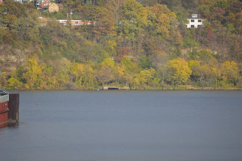
Davis Island Lock and Dam is a former navigation lock and movable dam on the Ohio River at Avalon, Allegheny County, Pennsylvania. Construction by the Corps of Engineers began on July 30, 1878, and was completed on October 7, 1885, at a cost of $940,832.31. The lock chamber measured 600 feet long and 110 feet wide, larger than the later Panama Canal locks. Its rolling lock gates, made of wooden Howe trusses on iron wheels, ran into recesses like railroad cars, a design chosen because available materials lacked the rigidity needed for mitered gates across such a wide chamber. The dam used 305 Chanoine wickets, a French design modified by the Corps. The project proved successful enough that about 50 similar dams were built along the Ohio River by 1929. It was replaced by the Emsworth Locks and Dam in 1922, after which the dam and riverward lockwall were removed. The massive cutstone landward lockwall remains in place.
Significance in brief: The project is argued to be significant for its engineering innovations, including the first rolling lock gates on the Ohio River, a large Chanoine wicket dam, and what was then the widest lock chamber in the world. Its design was repeated at about 50 dams along the Ohio River, which supported river commerce and the industrial development of the Port of Pittsburgh.
Machine-generated summary. This summary was generated by a language model from the official nomination document and has not been reviewed line by line by an editor. It may contain errors. Check the source document before relying on any detail. Source: nomination document (PDF) · National Archives catalog entry. NRHP reference 80003400, listed August 29, 1980. Summary generated October 2026 (model claude-haiku-5-5, prompt v1.1-2026-10-29, confidence high).
Key facts
| Address | Off PA 65, Avalon |
|---|---|
| County | Allegheny County |
| Listed | August 29, 1980 |
| Reference number | 80003400 |
| Resource type | Site |
| Period of significance | 1878-1885 |
| Architect / builder | Corps of Engineers |
| Criteria |
|
| Areas of significance | Industry, Engineering, Transportation |
| Level of significance | National |
| Status (as stated in the nomination) | Dam and riverward lockwall removed in 1922; landward lockwall remains in place and is visible except during floods. |
| Acreage | 6.2 |
| Coordinates | 40.49301, -80.06533 (NPS GIS) |
What listing means for this property
Sites (archaeological sites, battlefields, landscapes) are often listed with a restricted address to protect them from looting or disturbance. Listing is honorary for private owners; federal undertakings on or near the site go through Section 106 review, and state laws may protect burials and artefacts regardless of listing.
General information, not legal or tax advice. Rules change; confirm with your State Historic Preservation Office or a qualified adviser.
Sources and further reading
- National Park Service, National Register of Historic Places database (snapshot May 2026), reference 80003400.
- Nomination form (PDF, National Archives) — catalog entry
- Wikipedia article (used for cross-checking only; text not reproduced here)
- Wikidata Q5241917
- This listing as JSON
Last updated October 2026. Found an error? See the editorial policy for how to report it.