Gettysburg National Military Park
Also known as: See Also:Covered Bridges of Adams, Cumberland, and Perry Cou

Why it's listed
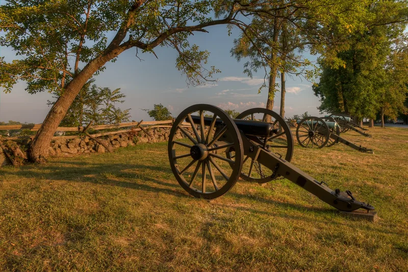
Gettysburg National Military Park covers the ground of the three-day battle fought on July 1-3, 1863, in and around the Pennsylvania town of Gettysburg. The park includes Little Round Top, Seminary Ridge, Cemetery Ridge, Cemetery Hill and Culp's Hill, along with farm fields, woodlots, orchards, and stone and rail fences that shaped the fighting. The Soldiers' National Cemetery was dedicated in November 1863, where Abraham Lincoln delivered the Gettysburg Address, and its design by William Saunders was largely complete by 1869. Veterans led preservation efforts from 1864, and the federal park was established in 1895 with monuments, formal avenues and designed landscape features. The park is regarded as a leading example of a designed commemorative battlefield, and its terrain is considered likely to yield further archaeological information about the battle.
Significance in brief: The nomination argues the park is significant for its association with the Battle of Gettysburg and the Gettysburg Address delivered at the Soldiers' National Cemetery, for its designed commemorative landscape of avenues, markers and monuments, and for the potential archaeological information in the battlefield. It also states that the battle had national importance for Confederate strategy and for the preservation of the Union.
Machine-generated summary. This summary was generated by a language model from the official nomination document and has not been reviewed line by line by an editor. It may contain errors. Check the source document before relying on any detail. Source: nomination document (PDF) · National Archives catalog entry. NRHP reference 66000642, listed October 15, 1966. Summary generated October 2026 (model claude-haiku-5-5, prompt v1.1-2026-10-29, confidence medium).
Key facts
| Address | Gettysburg National Military Park, Gettysburg |
|---|---|
| County | Adams County |
| Listed | October 15, 1966 |
| Reference number | 66000642 |
| Resource type | District |
| Period of significance | 1863-1938 |
| Architect / builder | Cope, Emmor Bradley (GNMP); Saunders, William (SNC) |
| Architectural style | No Style |
| Criteria |
|
| Areas of significance | Military, Politics/Government, Landscape Architecture, Conservation, Historic - Non-Aboriginal |
| Level of significance | National |
| Acreage | 5989 |
| Within district | Gettysburg Battlefield Historic District |
| Coordinates | 39.81533, -77.24474 (NPS GIS) |
What listing means for this property
This is a historic district. Buildings within its boundary are either contributing (they add to the district's significance) or non-contributing. Owners of contributing income-producing buildings can claim the 20% federal rehabilitation tax credit; homeowners should look at state credits. National Register districts impose no design review by themselves; a local historic district ordinance, if one exists, does (the difference explained).
General information, not legal or tax advice. Rules change; confirm with your State Historic Preservation Office or a qualified adviser.
Sources and further reading
- National Park Service, National Register of Historic Places database (snapshot May 2026), reference 66000642.
- Nomination form (PDF, National Archives) — catalog entry
- Wikipedia article (used for cross-checking only; text not reproduced here)
- Wikidata Q5554764
- This listing as JSON
Last updated October 2026. Found an error? See the editorial policy for how to report it.