Forest Hill Park

Why it's listed
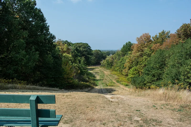
Forest Hill Park covers roughly 235 acres on the northwest-facing slope of the Portage Escarpment, divided between East Cleveland and Cleveland Heights. The land was once John D. Rockefeller's estate, occupied from 1880 to 1917, and he left behind carriage and bridle trails, bluestone bridges and culverts, and the site of his summer home and golf course. Landscape architect A. D. Taylor produced a 1938 plan that kept many of those trails and confined roads to perimeter parking areas. Work in 1939-40 added an enlarged lake, a rustic sandstone boathouse, a comfort station, a lawn-bowling shelter, tennis courts and a 360-foot sandstone-veneered footbridge designed by Wilbur J. Watson. The park also holds old-growth beech, maple and oak forest and habitats with rare plants. Later intrusions, notably a ball-field complex in the Cleveland Heights portion and a debris dump, reduce integrity in those areas.
Significance in brief: The park preserves much of the Rockefeller estate landscape, including old-growth forest, trails and bluestone structures, and a naturalistic recreation park designed by landscape architect A. D. Taylor. Its rustic stone buildings and a footbridge by engineer Wilbur J. Watson date from 1939-40. The form notes that the ball-field complex in the Cleveland Heights section is a serious loss of integrity and treats it as non-contributing.
Machine-generated summary. This summary was generated by a language model from the official nomination document and has not been reviewed line by line by an editor. It may contain errors. Check the source document before relying on any detail. Source: nomination document (PDF) · National Archives catalog entry. NRHP reference 98000072, listed February 27, 1998. Summary generated October 2026 (model claude-sonnet-5-5, prompt v1.0-2026-10-29, confidence medium).
Key facts
| Address | Roughly along Lee Blvd., Superior, Terrace, and Mayfield Rds., East Cleveland |
|---|---|
| County | Cuyahoga County |
| Listed | February 27, 1998 |
| Reference number | 98000072 |
| Resource type | District |
| Architect / builder | A. D. Taylor (park plan, 1938); Wilbur J. Watson (footbridge); John D. Rockefeller (earlier estate improvements) |
| Architectural style | Late 19th and Early 20th Century American Movements: Rustic |
| Areas of significance | Landscape Architecture |
| Level of significance | Local |
| Status (as stated in the nomination) | Mixed condition: the lawn-bowling complex survives in excellent condition, while the Meadow Vista comfort station is vandalized and unused. The Great Meadow dump and the ball-field complex are noted as intrusions. |
| Acreage | 235 |
| Coordinates | 41.52694, -81.57711 (NPS GIS) |
What listing means for this property
This is a historic district. Buildings within its boundary are either contributing (they add to the district's significance) or non-contributing. Owners of contributing income-producing buildings can claim the 20% federal rehabilitation tax credit; homeowners should look at state credits. National Register districts impose no design review by themselves; a local historic district ordinance, if one exists, does (the difference explained).
General information, not legal or tax advice. Rules change; confirm with your State Historic Preservation Office or a qualified adviser.
Sources and further reading
- National Park Service, National Register of Historic Places database (snapshot May 2026), reference 98000072.
- Nomination form (PDF, National Archives) — catalog entry
- Wikipedia article (used for cross-checking only; text not reproduced here)
- Wikidata Q5468936
- This listing as JSON
Last updated October 2026. Found an error? See the editorial policy for how to report it.