Fort Raleigh National Historic Site
Also known as: Lane's New Fort in Virginia; Cittie of Raleigh

Why it's listed
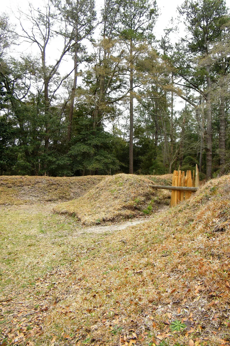
Set on the wooded north end of Roanoke Island, this roughly 14-acre portion of Fort Raleigh National Historic Site preserves the location of the earthwork fort that Ralph Lane's English colonists built in 1585. The fort seen today is a 1950 reconstruction by National Park Service archeologist J.C. Harrington, based on documents, excavation and sixteenth-century military practice. It is a square earthwork with a ditch, a five-foot parapet and bastions, partly star-shaped. The colony was Sir Walter Raleigh's first attempt at English settlement in North America, and a second group followed in 1587, the Lost Colony, which vanished by 1590. Virginia Dare, the first English child born in the New World, was born here. Archeological searches between 1948 and 1965 found the fort site but not the village, which may lie beneath Roanoke Sound or elsewhere in the zone. Most of the surrounding 159-acre park is developed, so only this area retains historic integrity.
Significance in brief: The site was the scene of the earliest English colonizing attempts on the North American continent, led by Sir Walter Raleigh, and the birthplace of Virginia Dare, the first English child born in the New World. The attempts, ending with the 1587 Lost Colony, preceded the successful settlement at Jamestown. The fort site is described as the only direct link with the Elizabethan age of English exploration in North America.
Machine-generated summary. This summary was generated by a language model from the official nomination document and has not been reviewed line by line by an editor. It may contain errors. Check the source document before relying on any detail. Source: nomination document (PDF) · National Archives catalog entry. NRHP reference 66000102, listed October 15, 1966. Summary generated October 2026 (model claude-sonnet-5-5, prompt v1.0-2026-10-29, confidence medium).
Key facts
| Address | 4 mi. N of Manteo on U.S. 158, Manteo |
|---|---|
| County | Dare County |
| Listed | October 15, 1966 |
| Reference number | 66000102 |
| Resource type | Site |
| Period of significance | 1585-1590 |
| Architect / builder | Ralph Lane |
| Areas of significance | Historic - Non-Aboriginal, Exploration/Settlement |
| Level of significance | National |
| Status (as stated in the nomination) | Condition is listed as excellent and altered. The fort is a 1950 reconstruction, and the site of the colonists' village has not been found. |
| Acreage | 14 |
| Coordinates | 35.93873, -75.70954 (NPS GIS) |
What listing means for this property
Sites (archaeological sites, battlefields, landscapes) are often listed with a restricted address to protect them from looting or disturbance. Listing is honorary for private owners; federal undertakings on or near the site go through Section 106 review, and state laws may protect burials and artefacts regardless of listing.
General information, not legal or tax advice. Rules change; confirm with your State Historic Preservation Office or a qualified adviser.
Sources and further reading
- National Park Service, National Register of Historic Places database (snapshot May 2026), reference 66000102.
- Nomination form (PDF, National Archives) — catalog entry
- Wikipedia article (used for cross-checking only; text not reproduced here)
- Wikidata Q1438664
- This listing as JSON
Last updated October 2026. Found an error? See the editorial policy for how to report it.