Utica Parks and Parkway Historic District

Why it's listed
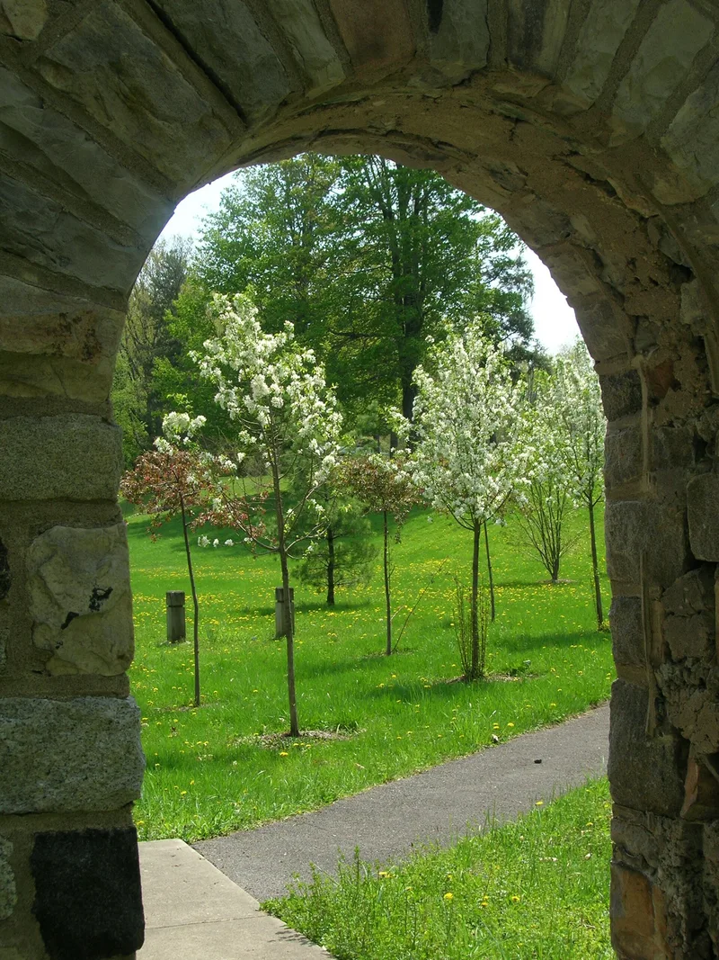
Utica's southeastern edge is occupied by a park and parkway system of about 565 acres of parkland joined by five miles of road. Memorial Parkway begins at Genesee Street as a divided boulevard with a planted median, then runs east past three parks: Roscoe Conkling Park, T. R. Proctor Park and F. T. Proctor Park. Olmsted Brothers Landscape Associates designed the system between 1908 and 1914. Roscoe Conkling Park opened in 1909 and is the largest, with a wooded hillside, a ski slope, a golf course and a zoo. T. R. Proctor Park has a swimming pool and athletic fields, while F. T. Proctor Park has open fields and woodland paths. Three memorials stand in the median: the von Steuben monument, the Swann Fountain and the Spanish-American War statue. Works Progress Administration work in the late 1930s added stone structures that respected the original plan. It is the only built element of the Olmsted firm's city plan, and its layout remains largely intact despite lost elms and later additions.
Significance in brief: The district is the only built part of the Olmsted Brothers plan for improving and beautifying Utica, as outlined in the firm's 1908 report. It keeps the original layout of a boulevard linking three parks. Works Progress Administration additions from the late 1930s respected the Olmsted plan and are significant in their own right. The form marks recreation as an area of significance.
Machine-generated summary. This summary was generated by a language model from the official nomination document and has not been reviewed line by line by an editor. It may contain errors. Check the source document before relying on any detail. Source: nomination document (PDF) · National Archives catalog entry. NRHP reference 08000594, listed July 3, 2008. Summary generated October 2026 (model claude-sonnet-5-5, prompt v1.0-2026-10-29, confidence medium).
Key facts
| Address | Parkway and Pleasant St, Utica |
|---|---|
| County | Oneida County |
| Listed | July 3, 2008 |
| Reference number | 08000594 |
| Resource type | District |
| Architect / builder | Olmsted Brothers Landscape Associates (OBLA) |
| Architectural style | No style |
| Criteria |
|
| Areas of significance | Entertainment/Recreation, Landscape Architecture |
| Level of significance | Local |
| Status (as stated in the nomination) | The parks and parkway are in public use. Some historic features have deteriorated or been vandalized, and WPA-era modifications are being restored. |
| Acreage | 625 |
| Coordinates | 43.07945, -75.24020 (NPS GIS) |
What listing means for this property
This is a historic district. Buildings within its boundary are either contributing (they add to the district's significance) or non-contributing. Owners of contributing income-producing buildings can claim the 20% federal rehabilitation tax credit; homeowners should look at state credits. National Register districts impose no design review by themselves; a local historic district ordinance, if one exists, does (the difference explained).
General information, not legal or tax advice. Rules change; confirm with your State Historic Preservation Office or a qualified adviser.
Sources and further reading
- National Park Service, National Register of Historic Places database (snapshot May 2026), reference 08000594.
- Nomination form (PDF, National Archives) — catalog entry
- Wikipedia article (used for cross-checking only; text not reproduced here)
- Wikidata Q14707590
- This listing as JSON
Last updated October 2026. Found an error? See the editorial policy for how to report it.