Anawan Rock
Also known as: Annawon Rock

Why it's listed
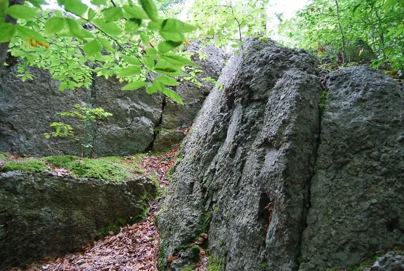
Anawan Rock is a wooded rural site on Anawan Street (Route 44) in Rehoboth, Massachusetts, about 200 feet from the road on less than one acre. It is used today as a commemorative site. The place is tied to a closing episode of King Philip's War (1675-1676). On August 28, 1676, after the death of King Philip in Rhode Island, Captain Benjamin Church and his company of colonists and Indians tracked down Annawon, one of Philip's two remaining chieftains. Church surprised Annawon and his men here, and they surrendered without resistance. Annawon handed over Philip's regalia as a sign of defeat. Church promised to spare his life, but Annawon was executed before Church returned to Plymouth. Church described the event and the location in a narrative first published in 1716 and reprinted many times. Because the exact location is known, the site is valued as the setting of a significant historical event that marked the end of Native American resistance in the region.
Significance in brief: It is the site of one of the closing confrontations of King Philip's War and one of the few incidents whose exact location is known. Captain Benjamin Church surprised the chieftain Annawon here, and Annawon surrendered and gave Church Philip's regalia, which marked the end of Native American resistance in the region. The form states it meets criterion A.
Machine-generated summary. This summary was generated by a language model from the official nomination document and has not been reviewed line by line by an editor. It may contain errors. Check the source document before relying on any detail. Source: nomination document (PDF) · National Archives catalog entry. NRHP reference 83000619, listed June 6, 1983. Summary generated October 2026 (model claude-sonnet-5-5, prompt v1.0-2026-10-29, confidence medium).
Key facts
| Address | Anawan St., Rehoboth |
|---|---|
| County | Bristol County |
| Listed | June 6, 1983 |
| Reference number | 83000619 |
| Resource type | Site |
| Period of significance | 1676 |
| Criteria |
|
| Areas of significance | Military |
| Level of significance | Local |
| Status (as stated in the nomination) | Present use is commemorative. |
| Acreage | 0.9 |
| Coordinates | 41.86505, -71.21403 (NPS GIS) |
What listing means for this property
Sites (archaeological sites, battlefields, landscapes) are often listed with a restricted address to protect them from looting or disturbance. Listing is honorary for private owners; federal undertakings on or near the site go through Section 106 review, and state laws may protect burials and artefacts regardless of listing.
General information, not legal or tax advice. Rules change; confirm with your State Historic Preservation Office or a qualified adviser.
Sources and further reading
- National Park Service, National Register of Historic Places database (snapshot May 2026), reference 83000619.
- Nomination form (PDF, National Archives) — catalog entry
- Wikipedia article (used for cross-checking only; text not reproduced here)
- Wikidata Q4752418
- This listing as JSON
Last updated October 2026. Found an error? See the editorial policy for how to report it.