Oak Ridge Cemetery
Also known as: See Also:Lincoln Tomb
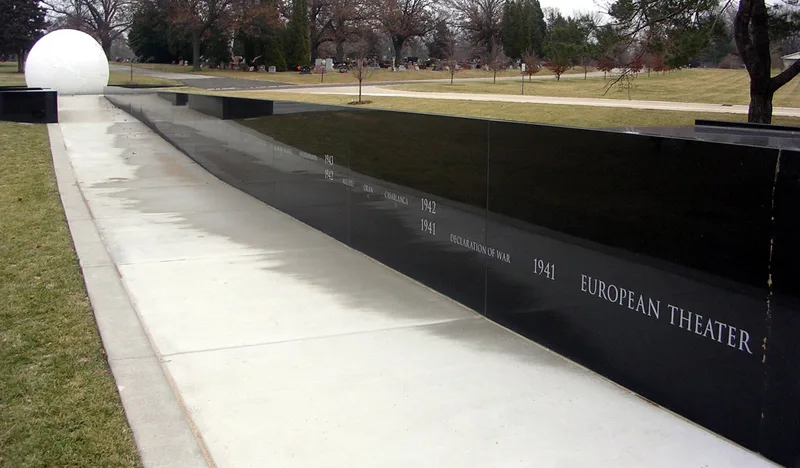

Why it's listed
Oak Ridge Cemetery is the city cemetery of Springfield, Illinois, set on rolling, oak-covered land about two miles north of the old Capitol. The nominated area covers roughly 137 of its 190 acres and is classed as a historic district. Springfield began buying land in 1855 as older graveyards became surrounded by development. An initial grid layout by the city engineer was soon abandoned in favor of a naturalistic plan by landscape architect William Saunders, with curving roads, burial mounds and scenic vistas, later refined in the Landscape Lawn Style. The founders openly modeled the grounds on celebrated rural cemeteries such as Mount Auburn and Spring Grove. The district includes five contributing buildings, among them the Castellated Tomb Custodian's Residence and the 1911-12 Classical Revival mausoleum known as The Abbey, along with historic mausolea, the Lincoln Receiving Vault, the previously listed Lincoln Tomb, and thirty selected monuments. A mid-twentieth-century southwest section is left out.
Significance in brief: The cemetery is presented as a representative example of the rural cemetery movement and its later Landscape Lawn Style modification, deliberately modeled on Mount Auburn, Laurel Hill, Green-Wood and Spring Grove. It retains Saunders' curving road plan, rolling wooded terrain, and historic buildings, structures and monuments, and it contains the Lincoln Tomb.
Machine-generated summary. This summary was generated by a language model from the official nomination document and has not been reviewed line by line by an editor. It may contain errors. Check the source document before relying on any detail. Source: nomination document (PDF) · National Archives catalog entry. NRHP reference 95000986, listed August 4, 1995. Summary generated October 2026 (model claude-sonnet-5-5, prompt v1.0-2026-10-29, confidence medium).
Key facts
| Address | 1441 Monument Ave., Springfield |
|---|---|
| County | Sangamon County |
| Listed | August 4, 1995 |
| Reference number | 95000986 |
| Resource type | District |
| Architect / builder | William Saunders (landscape architect); William Sides (City Engineer, original grid plan, rejected) |
| Architectural style | Romanesque Revival; Classical Revival |
| Areas of significance | Art, Architecture, Landscape Architecture |
| Level of significance | Local |
| Status (as stated in the nomination) | Still in use as a cemetery; the southwest section of about 53 acres, designed after the historic period, is excluded from the nominated area. |
| Acreage | 137 |
| Coordinates | 39.82488, -89.65849 (NPS GIS) |
What listing means for this property
This is a historic district. Buildings within its boundary are either contributing (they add to the district's significance) or non-contributing. Owners of contributing income-producing buildings can claim the 20% federal rehabilitation tax credit; homeowners should look at state credits. National Register districts impose no design review by themselves; a local historic district ordinance, if one exists, does (the difference explained).
General information, not legal or tax advice. Rules change; confirm with your State Historic Preservation Office or a qualified adviser.
Sources and further reading
- National Park Service, National Register of Historic Places database (snapshot May 2026), reference 95000986.
- Nomination form (PDF, National Archives) — catalog entry
- Wikipedia article (used for cross-checking only; text not reproduced here)
- Wikidata Q696046
- This listing as JSON
Last updated October 2026. Found an error? See the editorial policy for how to report it.