Newington Archaeological Site
Also known as: Vdhr# 049-0096
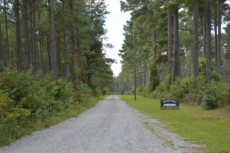

Why it's listed
Newington is a 9.2-acre archaeological site beside the Mattaponi River in King and Queen County, Virginia. It began as a Native American settlement and later became the home plantation of the Braxton family, who held 2,825 acres by 1704, and then the Roane and Harwood families. Carter Braxton, a signer of the Declaration of Independence, was born and raised there. Surface remains include a ruined colonial stone building, the depression left by the mansion basement, a cemetery, an old road cut and two garden terraces. Excavations in 1966-67, 1982 and 2009 found brick foundations, two brick-lined cellars filled in the late eighteenth century, and likely further outbuildings and a possible slave quarter. Native American deposits from the Woodland period contain about 8,000 sherds, including rare Abbott Farm ceramics. The site's well-preserved layers offer evidence on prehistoric settlement and on how a colonial plantation changed over time.
Significance in brief: The site is nominated under Criterion D at the statewide level for its well-preserved archaeological record. It holds Woodland period Native American deposits, including rare Abbott Farm ceramics, and eighteenth- and nineteenth-century plantation remains. These can yield information on community organization, settlement patterns, colonial plantation life, architecture and landscape design.
Machine-generated summary. This summary was generated by a language model from the official nomination document and has not been reviewed line by line by an editor. It may contain errors. Check the source document before relying on any detail. Source: nomination document (PDF) · National Archives catalog entry. NRHP reference 10000146, listed March 31, 2010. Summary generated October 2026 (model claude-sonnet-5-5, prompt v1.0-2026-10-29, confidence medium).
Key facts
| Address | 697 Frazier Ferry Rd, King and Queen Courthouse |
|---|---|
| County | King and Queen County |
| Listed | March 31, 2010 |
| Reference number | 10000146 |
| Resource type | Site |
| Period of significance | Woodland Period (1200 BC - AD 1600); ca. 1704-1906 |
| Criteria |
|
| Areas of significance | Prehistoric, Historic - Non-Aboriginal |
| Level of significance | State |
| Status (as stated in the nomination) | Today a maintained meadow with a roofless, ruinous stone building, a mansion basement depression, a cemetery, a road cut and garden terraces; function listed as unoccupied land. |
| Acreage | 9.2 |
| Coordinates | 37.67228, -76.90307 (NPS GIS) |
What listing means for this property
Sites (archaeological sites, battlefields, landscapes) are often listed with a restricted address to protect them from looting or disturbance. Listing is honorary for private owners; federal undertakings on or near the site go through Section 106 review, and state laws may protect burials and artefacts regardless of listing.
General information, not legal or tax advice. Rules change; confirm with your State Historic Preservation Office or a qualified adviser.
Sources and further reading
- National Park Service, National Register of Historic Places database (snapshot May 2026), reference 10000146.
- Nomination form (PDF, National Archives) — catalog entry
- Wikipedia article (used for cross-checking only; text not reproduced here)
- Wikidata Q16895862
- This listing as JSON
Last updated October 2026. Found an error? See the editorial policy for how to report it.