Werowocomoco Archeological Site
Also known as: 44gl32; 036-5049

Why it's listed
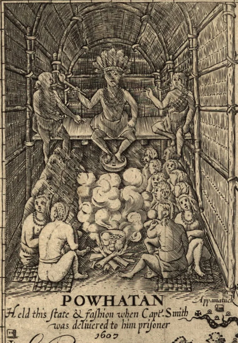
Werowocomoco is a 45-acre archaeological site on Purtan Bay, off the York River in Gloucester County, Virginia. It preserves a Native American village occupied from the Late Woodland period (beginning about A.D. 900) into the Early Contact era. When the English settled Jamestown in 1607, the village served as the capital of the Powhatan chiefdom and was the principal residence of its paramount chief, Powhatan, who moved his capital westward in 1609 to gain distance from the colonists. Early maps by Tindall, the Zuñiga map and John Smith's 1612 map, together with Smith's written descriptions of a shallow bay fed by three creeks, point to Purtan Bay. The nomination rejects an older theory favoring the Timberneck area. Archaeological work, begun after a landowner's artifact collection drew attention in 2001, surveyed the site in 2002-2003. The land remains mostly pasture, fields and forest, and the site is considered well preserved and nationally significant.
Significance in brief: The nomination argues the site was Werowocomoco, the capital of the Powhatan chiefdom and the principal residence of the paramount chief Powhatan when the English founded Jamestown in 1607. Early maps and written accounts, along with archaeological survey since 2002, place it at Purtan Bay. It is described as nationally significant and well preserved.
Machine-generated summary. This summary was generated by a language model from the official nomination document and has not been reviewed line by line by an editor. It may contain errors. Check the source document before relying on any detail. Source: nomination document (PDF) · National Archives catalog entry. NRHP reference 06000138, listed March 15, 2006. Summary generated October 2026 (model claude-sonnet-5-5, prompt v1.0-2026-10-29, confidence medium).
Key facts
| Address | 3051 Ginny Hill Rd., Gloucester |
|---|---|
| County | Gloucester County |
| Listed | March 15, 2006 |
| Reference number | 06000138 |
| Resource type | Site |
| Period of significance | A.D. 900-1609 (Late Woodland and Early Contact periods, as described in the text) |
| Areas of significance | Historic - Aboriginal, Prehistoric, Exploration/Settlement |
| Level of significance | National |
| Status (as stated in the nomination) | Described as in excellent condition, largely in pasture, agricultural fields, forest and residential lawns; current functions are agriculture and single dwelling. |
| Acreage | 45 |
| Coordinates | 37.41143, -76.65558 (NPS GIS) |
What listing means for this property
Sites (archaeological sites, battlefields, landscapes) are often listed with a restricted address to protect them from looting or disturbance. Listing is honorary for private owners; federal undertakings on or near the site go through Section 106 review, and state laws may protect burials and artefacts regardless of listing.
General information, not legal or tax advice. Rules change; confirm with your State Historic Preservation Office or a qualified adviser.
Sources and further reading
- National Park Service, National Register of Historic Places database (snapshot May 2026), reference 06000138.
- Nomination form (PDF, National Archives) — catalog entry
- Wikipedia article (used for cross-checking only; text not reproduced here)
- Wikidata Q301064
- This listing as JSON
Last updated October 2026. Found an error? See the editorial policy for how to report it.