Mt. Bleak-Skye Farm (030-0283)
Also known as: Sky Meadows State Park

Why it's listed
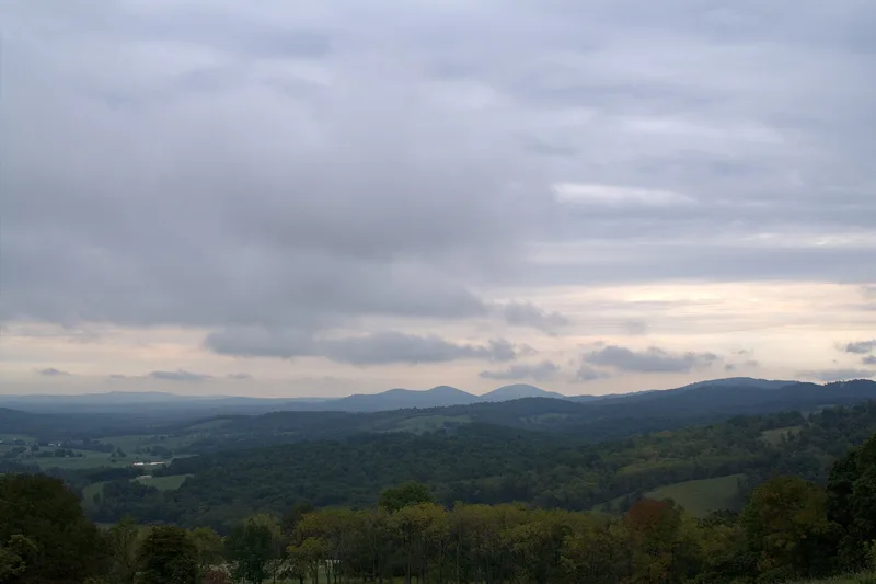
Sky Meadows State Park in northwestern Fauquier County, Virginia, occupies about 1,618 acres of meadows, hollows and ridges beneath the Blue Ridge. The land combines four plantations associated with the Edmonds, Settle, Morgan and Timberlake families. It contains 23 contributing buildings, one site and three structures dating from about 1780 to 1954. Wayside Cottage, built around 1780 for John Edmonds, keeps its hall-and-chamber plan and early attic framing despite later changes. Abner Settle built the stone Federal-style Mount Bleak mansion around 1843 and added a frame wing about 1850. Its carved stair, molded trim and faux-grained doors show quality craftsmanship. A carriage and corn house, log summer kitchen, meeting house, barns and stone fences record two centuries of farming. The park is surrounded by farmland, which gives the district strong integrity of setting. Its significance rests on its architecture and its long agricultural history.
Significance in brief: The nomination argues the district is significant under Criterion A for agriculture and Criterion C for architecture. It preserves four plantations tied to the Edmonds, Settle, Morgan and Timberlake families, with a late-18th-century cottage, a Federal-style stone mansion and farm outbuildings. The setting and agricultural landscape retain excellent integrity.
Machine-generated summary. This summary was generated by a language model from the official nomination document and has not been reviewed line by line by an editor. It may contain errors. Check the source document before relying on any detail. Source: nomination document (PDF) · National Archives catalog entry. NRHP reference 04000552, listed May 24, 2004. Summary generated October 2026 (model claude-sonnet-5-5, prompt v1.0-2026-10-29, confidence medium).
Key facts
| Address | 11012 Edmonds Ln., Delaplane |
|---|---|
| County | Fauquier County |
| Listed | May 24, 2004 |
| Reference number | 04000552 |
| Resource type | District |
| Period of significance | 1780-1954 |
| Architect / builder | Unknown |
| Architectural style | Early Republic: Federal; Other: Vernacular |
| Criteria |
|
| Areas of significance | Architecture, Agriculture |
| Level of significance | Local |
| Status (as stated in the nomination) | Now a state park. Wayside Cottage houses the chief park ranger, one dwelling is listed as vacated, and the reservoir or cistern is abandoned. Park additions are described as sympathetic to the historic resources. |
| Acreage | 1618.3 |
| Within district | Crooked Run Valley Rural Historic District |
| Coordinates | 38.99206, -77.97337 (NPS GIS) |
What listing means for this property
This is a historic district. Buildings within its boundary are either contributing (they add to the district's significance) or non-contributing. Owners of contributing income-producing buildings can claim the 20% federal rehabilitation tax credit; homeowners should look at state credits. National Register districts impose no design review by themselves; a local historic district ordinance, if one exists, does (the difference explained).
General information, not legal or tax advice. Rules change; confirm with your State Historic Preservation Office or a qualified adviser.
Sources and further reading
- National Park Service, National Register of Historic Places database (snapshot May 2026), reference 04000552.
- Nomination form (PDF, National Archives) — catalog entry
- Wikipedia article (used for cross-checking only; text not reproduced here)
- Wikidata Q11811656
- This listing as JSON
Last updated October 2026. Found an error? See the editorial policy for how to report it.