Cat Rock Sluice of the Roanoke Navigation

Why it's listed
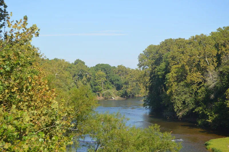
Cat Rock Sluice is a stretch of improved riverbed on the Staunton (Roanoke) River just west of Brookneal, Virginia. It begins as a cut about 10 feet wide, blasted through a rock ledge that crosses the channel, so that poled river boats called batteaux could pass the falls. Beside it runs a stone towing wall about 6 feet thick and at least 5 feet high, which boatmen used when hauling boats upstream. Samuel Pannill built the sluice in 1827 as part of an 11-mile network of sluices, wing dams and towing walls for the Roanoke Navigation Company, opening the river as far as Salem. Farm and mining products travelled downstream to coastal markets, with Norfolk the destination. The works are described as essentially unchanged since 1827, apart from repairs, silting and flood damage, and can still be used by canoes. The sluice is regarded as one of the best preserved and most accessible parts of what is described as the most extensive complex of its kind in the country.
Significance in brief: The sluice is described as one of the best preserved and most accessible parts of the most extensive riverbed navigation complex for batteaux known in the country. It shows an advanced type of river improvement, with a towing wall alongside the cut. It is tied to commercial trade in farm and mining products to coastal markets.
Machine-generated summary. This summary was generated by a language model from the official nomination document and has not been reviewed line by line by an editor. It may contain errors. Check the source document before relying on any detail. Source: nomination document (PDF) · National Archives catalog entry. NRHP reference 80004177, listed March 25, 1980. Summary generated October 2026 (model claude-sonnet-5-5, prompt v1.0-2026-10-29, confidence high).
Key facts
| Address | W of Brookneal, Brookneal |
|---|---|
| County | Campbell County |
| Listed | March 25, 1980 |
| Reference number | 80004177 |
| Resource type | Site |
| Period of significance | 1827 |
| Architect / builder | Samuel Pannill |
| Areas of significance | Commerce, Engineering, Transportation |
| Level of significance | State |
| Status (as stated in the nomination) | Towing wall is largely intact except near the rock cut; the works remain in good enough condition for canoes. Blasting holes are visible at low water. |
| Acreage | 4 |
| Coordinates | 37.04319, -78.96023 (NPS GIS) |
What listing means for this property
Sites (archaeological sites, battlefields, landscapes) are often listed with a restricted address to protect them from looting or disturbance. Listing is honorary for private owners; federal undertakings on or near the site go through Section 106 review, and state laws may protect burials and artefacts regardless of listing.
General information, not legal or tax advice. Rules change; confirm with your State Historic Preservation Office or a qualified adviser.
Sources and further reading
- National Park Service, National Register of Historic Places database (snapshot May 2026), reference 80004177.
- Nomination form (PDF, National Archives) — catalog entry
- Wikipedia article (used for cross-checking only; text not reproduced here)
- Wikidata Q14712140
- This listing as JSON
Last updated October 2026. Found an error? See the editorial policy for how to report it.