Fort Griffin

Why it's listed
Fort Griffin is the ruin of a frontier army post founded in 1867 in Shackelford County, Texas, on a plateau overlooking the Clear Fork of the Brazos River. It was one of a chain of forts along the western frontier meant to protect settlers and escort mail and cattle drives. The post became a supply depot and staging point for campaigns against Southern Plains Indians, and General Ranald MacKenzie used it as his principal depot in 1874-75. Below the fort, the town called "The Flat" grew into its social center and, during the 1870s buffalo hunt, a major hide-shipping point. The army left in 1881. Large stone building plans were never carried out; only five stone structures were built, alongside wooden huts and houses. Today the powder magazine, sutler's store, administration building, bakery, an officer's chimney, a well and a cistern remain. Excavations in 1969 uncovered additional huts, a kitchen, and a library-chapel. The site lies in a state park.
Significance in brief: It was one of a line of forts on the western Texas frontier built to protect settlers and escort mail and cattle drives. It served as a supply depot and starting point for campaigns against Southern Plains Indians, including General Ranald MacKenzie's 1874-75 campaign. The nearby town known as "The Flat" became a major shipping point for buffalo hides in the 1870s.
Machine-generated summary. This summary was generated by a language model from the official nomination document and has not been reviewed line by line by an editor. It may contain errors. Check the source document before relying on any detail. Source: nomination document (PDF) · National Archives catalog entry. NRHP reference 71000962, listed March 11, 1971. Summary generated October 2026 (model claude-sonnet-5-5, prompt v1.0-2026-10-29, confidence high).
Key facts
| Address | 15 mi. N of Albany on U.S. 283, Albany |
|---|---|
| County | Shackelford County |
| Listed | March 11, 1971 |
| Reference number | 71000962 |
| Resource type | Site |
| Period of significance | 19th Century (specific date 1867) |
| Areas of significance | Military |
| Level of significance | State |
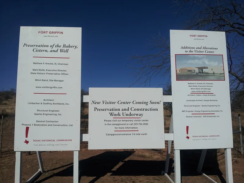
| Status (as stated in the nomination) | Condition listed as ruins, unaltered, on its original site. Five stone buildings stand roofless or partly down, the bakery is partially restored, and a state-built museum and restoration plans are noted. |
| Acreage | 204.6 |
| Coordinates | 32.92237, -99.22953 (NPS GIS) |
What listing means for this property
Sites (archaeological sites, battlefields, landscapes) are often listed with a restricted address to protect them from looting or disturbance. Listing is honorary for private owners; federal undertakings on or near the site go through Section 106 review, and state laws may protect burials and artefacts regardless of listing.
General information, not legal or tax advice. Rules change; confirm with your State Historic Preservation Office or a qualified adviser.
Sources and further reading
- National Park Service, National Register of Historic Places database (snapshot May 2026), reference 71000962.
- Nomination form (PDF, National Archives) — catalog entry
- Wikipedia article (used for cross-checking only; text not reproduced here)
- Wikidata Q8564738
- This listing as JSON
Last updated October 2026. Found an error? See the editorial policy for how to report it.