Mission San Francisco de la Espada (Boundary Increase)
Also known as: See Also:Mission San Francisco de la Espada
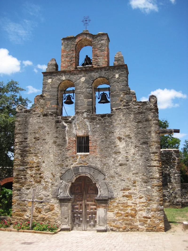

Why it's listed
Four cylindrical lime kilns lie along a fairly steep bank beside the San Antonio River flood plain, just northeast of Mission San Francisco de la Espada in San Antonio, Texas. The bank, lined with clay, forms the south side of each kiln, while built-up clay walls on the north, or stream side, complete the round shape. The kilns measure between 1.45 and 2 meters in diameter, and their walls rise to roughly 1.5 meters above ground. They are described as the only known kilns surviving from the Spanish colonial period in Texas. Lime made by burning local limestone served as a cementing agent in the masonry of the earliest permanent buildings at some of the other San Antonio missions, so the same use is anticipated here. The kilns are dated to the 1740s through the 1770s, and possibly as early as about 1740. Their addition expanded the mission's protected area by approximately five acres.
Significance in brief: The kilns are described as the only known kilns surviving from the Spanish colonial period in Texas. Lime from burning local limestone was used as mortar in the earliest permanent buildings at other San Antonio missions, so the same use is expected here. The kilns are dated to between the 1740s and the 1770s, possibly as early as about 1740.
Machine-generated summary. This summary was generated by a language model from the official nomination document and has not been reviewed line by line by an editor. It may contain errors. Check the source document before relying on any detail. Source: nomination document (PDF) · National Archives catalog entry. NRHP reference 74002324, listed January 28, 1974. Summary generated October 2026 (model claude-sonnet-5-5, prompt v1.0-2026-10-29, confidence low).
Key facts
| Address | Espada Rd., San Antonio |
|---|---|
| County | Bexar County |
| Listed | January 28, 1974 |
| Reference number | 74002324 |
| Resource type | Structure |
| Areas of significance | Industry |
| Level of significance | National, State |
| Status (as stated in the nomination) | The kilns survive with walls standing to a maximum exposed height of about 1.5 meters. |
| Acreage | 5 |
| Within district | Mission Parkway |
| Coordinates | 29.31773, -98.45016 (NPS GIS) |
What listing means for this property
National Register listing is honorary: it recognises significance and does not restrict what a private owner may do without federal money or permits. It unlocks the 20% federal rehabilitation tax credit for income-producing buildings, state credits in many states, and Section 106 review when federal agencies are involved. See what listing means in practice.
General information, not legal or tax advice. Rules change; confirm with your State Historic Preservation Office or a qualified adviser.
Sources and further reading
- National Park Service, National Register of Historic Places database (snapshot May 2026), reference 74002324.
- Nomination form (PDF, National Archives) — catalog entry
- Wikipedia article (used for cross-checking only; text not reproduced here)
- Wikidata Q2393728
- This listing as JSON
Last updated October 2026. Found an error? See the editorial policy for how to report it.