Stoddartsville Historic District
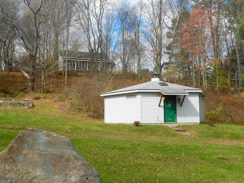

Why it's listed
Stoddartsville lies in a narrow valley of the Lehigh River at the Great Falls, straddling the Luzerne and Monroe county line. John Stoddart, an English-born Philadelphia merchant, founded the milling village around 1815 on the Easton and Wilkes-Barre Turnpike. In 1816 he began a five-story grist mill, 50 by 70 feet, designed on the automated model of Oliver Evans; it opened in 1818 and its walls still stand facing the falls. A sawmill, a store, a hotel, a blacksmith's house and cottages completed the community. Stoddart backed Josiah White's plan to make the upper Lehigh navigable for coal barges, and White's bear trap locks, the best-preserved examples of which survive here, gave the village its engineering importance. Floods in 1862 and a fire in 1875 ended milling, and the village turned to resort use. The remains are regarded as significant for transportation, commerce, engineering and archaeology.
Significance in brief: The district is argued to be significant for its ties to early internal improvements and transportation on the upper Lehigh River, including Josiah White's bear trap locks, and for the ruins of John Stoddart's grist mill and sawmill. Its later resort cottages reflect rustic design. Archaeological remains are considered likely to yield important information about regional industry.
Machine-generated summary. This summary was generated by a language model from the official nomination document and has not been reviewed line by line by an editor. It may contain errors. Check the source document before relying on any detail. Source: nomination document (PDF) · National Archives catalog entry. NRHP reference 98001373, listed November 12, 1998. Summary generated October 2026 (model claude-haiku-5-5, prompt v1.1-2026-10-29, confidence medium).
Key facts
| Address | S side of PA 115 at Lehigh R., Buck Township |
|---|---|
| County | Luzerne County |
| Listed | November 12, 1998 |
| Reference number | 98001373 |
| Resource type | District |
| Period of significance | c.1815-1940 |
| Architectural style | Georgian, Colonial Revival, Federal, other: Rustic cottages |
| Criteria |
|
| Areas of significance | Transportation, Engineering, Commerce, Architecture |
| Level of significance | State |
| Status (as stated in the nomination) | Industrial phase ended after the 1862 flood and the 1875 fire; the village later became a resort. The 1955 Hurricane Hazel destruction of the bridge is stated, and the turnpike is described as no longer continuous. |
| Acreage | 180 |
| Coordinates | 40.22845, -75.62065 (NPS GIS) |
What listing means for this property
This is a historic district. Buildings within its boundary are either contributing (they add to the district's significance) or non-contributing. Owners of contributing income-producing buildings can claim the 20% federal rehabilitation tax credit; homeowners should look at state credits. National Register districts impose no design review by themselves; a local historic district ordinance, if one exists, does (the difference explained).
General information, not legal or tax advice. Rules change; confirm with your State Historic Preservation Office or a qualified adviser.
Sources and further reading
- National Park Service, National Register of Historic Places database (snapshot May 2026), reference 98001373.
- Nomination form (PDF, National Archives) — catalog entry
- Wikipedia article (used for cross-checking only; text not reproduced here)
- Wikidata Q7618313
- This listing as JSON
Last updated October 2026. Found an error? See the editorial policy for how to report it.