Smock Historic District

Why it's listed
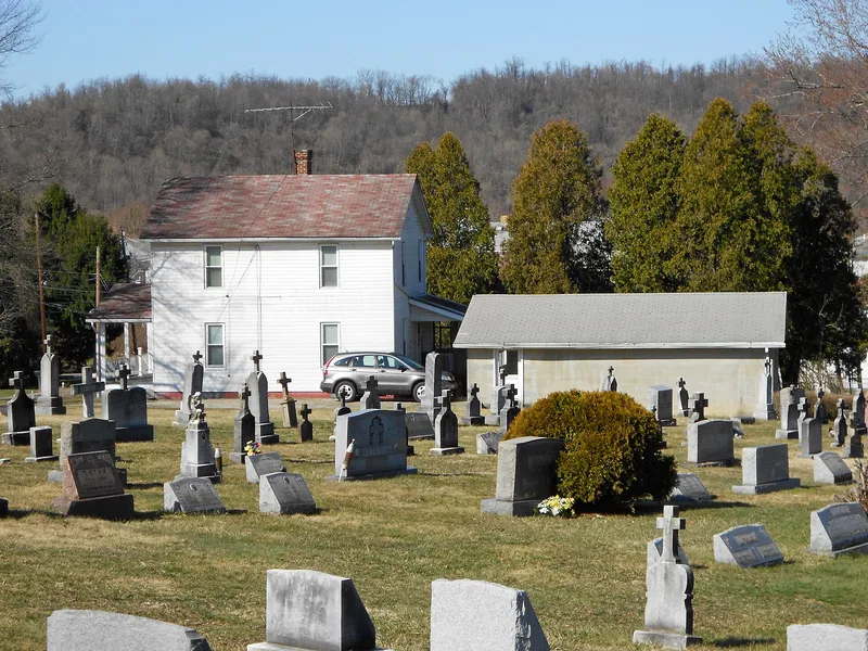
Smock is a former coal mining village and beehive coke works in Fayette County, Pennsylvania, developed on farmland from the 1880s through 1923. Colonial Mines No. 1 and No. 2 were opened by the Pittsburgh Coal Company in 1884, and the mine's coke plant once held nearly 500 beehive ovens, of which about 150 survive. The village was built by several companies and private investors rather than a single operator, producing a mix of workers' and managers' houses, commercial and social buildings, and a water filtration complex, a slate dump and two cemeteries. The district's housing stock retains a high degree of integrity and is regarded as a strong example of vernacular company housing across Pennsylvania's bituminous coal fields. Its archaeological remains of the demolished mine buildings are valued for what they may reveal about mining technology, facility layout and the daily lives of miners and coke workers. Coal was mined at Smock until 1943, when the depleted seam forced closure.
Significance in brief: The nomination argues the district is a well-preserved example of an early coal town and beehive coke plant in the Lower Connellsville coke district, developed in an ad hoc way by many companies rather than a single operator. Its company housing is presented as an excellent example of vernacular company housing typical of Pennsylvania's bituminous coal fields. Its mine and coke-oven remains are considered to have potential to yield information on mining technology, facility layout and the daily lives of workers.
Machine-generated summary. This summary was generated by a language model from the official nomination document and has not been reviewed line by line by an editor. It may contain errors. Check the source document before relying on any detail. Source: nomination document (PDF) · National Archives catalog entry. NRHP reference 94000520, listed June 3, 1994. Summary generated October 2026 (model claude-haiku-5-5, prompt v1.1-2026-10-29, confidence medium).
Key facts
| Address | Roughly bounded by Redstone Cemetery, Colonial Mine No. 1, Smock Hill, Colonial Mine No. 2 and Redstone Cr., Smock |
|---|---|
| County | Fayette County |
| Listed | June 3, 1994 |
| Reference number | 94000520 |
| Resource type | District |
| Period of significance | 1884-1943 |
| Criteria |
|
| Areas of significance | Architecture, Historic - Non-Aboriginal, Community Planning and Development, Industry |
| Level of significance | State |
| Acreage | 187 |
| Coordinates | 39.99809, -79.78435 (NPS GIS) |
What listing means for this property
This is a historic district. Buildings within its boundary are either contributing (they add to the district's significance) or non-contributing. Owners of contributing income-producing buildings can claim the 20% federal rehabilitation tax credit; homeowners should look at state credits. National Register districts impose no design review by themselves; a local historic district ordinance, if one exists, does (the difference explained).
General information, not legal or tax advice. Rules change; confirm with your State Historic Preservation Office or a qualified adviser.
Sources and further reading
- National Park Service, National Register of Historic Places database (snapshot May 2026), reference 94000520.
- Nomination form (PDF, National Archives) — catalog entry
- Wikipedia article (used for cross-checking only; text not reproduced here)
- Wikidata Q7545742
- This listing as JSON
Last updated October 2026. Found an error? See the editorial policy for how to report it.