Reed Covered Bridge

Why it's listed
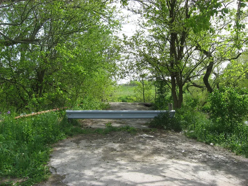
Spanning Big Darby Creek 3.5 miles south of Marysville, this wooden covered bridge was probably built in the 1870s, though the exact date is unknown. It is a single span 154 feet long with a clear span of 150 feet, vertical siding, a metal roof, slightly projecting portals and stone abutments. Its trusses follow the plan patented in 1872 by Reuban Partridge, a Marysville builder who worked in Delaware, Franklin and Union Counties. Only six Partridge truss bridges remain, five of them in Union County. The roofed windows along the sides were likely cut later to improve visibility for automobile drivers. The name comes from the many Reed families who lived nearby. The State Highway Department took over the road around 1931, and the state bypassed the bridge in 1963, after which it reverted to the county. It is now closed to traffic, maintained by the county commissioners and the county historical society, and open to visitors.
Significance in brief: The bridge is one of only six surviving Partridge truss bridges, five of them in Union County, built to a design patented in 1872 by Reuban Partridge of Marysville. It is nominated for engineering significance and as a landmark of a well-known central Ohio bridge builder.
Machine-generated summary. This summary was generated by a language model from the official nomination document and has not been reviewed line by line by an editor. It may contain errors. Check the source document before relying on any detail. Source: nomination document (PDF) · National Archives catalog entry. NRHP reference 75001547, listed March 4, 1975. Summary generated October 2026 (model claude-sonnet-5-5, prompt v1.0-2026-10-29, confidence high).
Key facts
| Address | 3.5 mi. S of Marysville off SR 38, Marysville |
|---|---|
| County | Union County |
| Listed | March 4, 1975 |
| Reference number | 75001547 |
| Resource type | Structure |
| Period of significance | 1870's |
| Architect / builder | Reuban Partridge (Partridge truss designer and builder) |
| Areas of significance | Engineering |
| Level of significance | Local |
| Status (as stated in the nomination) | Generally good condition with some siding missing from vandalism; closed to traffic but open to visitors, maintained by the county commissioners and county historical society. |
| Acreage | 1 |
| Coordinates | 40.14976, -83.38054 (NPS GIS) |
What listing means for this property
For a publicly owned building or structure, listing mainly matters when federal funds, permits or licences are involved: projects then go through Section 106 review so effects on the property are considered. Listing also strengthens applications for preservation grants and, for leased income-producing uses, can enable the federal rehabilitation tax credit.
General information, not legal or tax advice. Rules change; confirm with your State Historic Preservation Office or a qualified adviser.
Sources and further reading
- National Park Service, National Register of Historic Places database (snapshot May 2026), reference 75001547.
- Nomination form (PDF, National Archives) — catalog entry
- Wikipedia article (used for cross-checking only; text not reproduced here)
- Wikidata Q58904066
- This listing as JSON
Last updated October 2026. Found an error? See the editorial policy for how to report it.