Columbus Near East Side Historic District-Parsons Avenue (Boundary Increase)
Also known as: See Also:Columbus Near East Side District
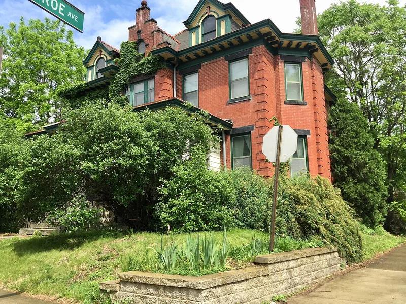

Why it's listed
Parsons Avenue, just east of downtown Columbus, once served as the main business street of the Near East Side. This boundary increase adds the west side of the street between E. Broad Street and Bryden Road, a stretch of about two and a half blocks. It holds nine buildings, eight commercial and one residence, dating from 1886 to 1932, plus a vacant lot left after a fire-damaged building was demolished. The oldest is an 1886 Italianate block built for a chemist or druggist. Later buildings include a 1910 grocery, the plainly detailed Mattlin Building of 1922, the 1928 Tudor Revival Reynolds Building, and a 1930s auto service building for a long-established blacksmith and repair firm. The street thrived until World War I, declined afterward, and was cut off from its customers by Interstate 71 in the early 1960s. Listing recognizes the strip as the neighborhood's commercial core and as a record of changing commercial architecture.
Significance in brief: The nomination argues that the strip was the commercial center of a prominent turn-of-the-century neighborhood as Columbus expanded eastward (Criterion A). It also argues that the buildings show the shift from Italianate commercial blocks of the late 1800s to Revival and streamlined styles of the early 1900s (Criterion B).
Machine-generated summary. This summary was generated by a language model from the official nomination document and has not been reviewed line by line by an editor. It may contain errors. Check the source document before relying on any detail. Source: nomination document (PDF) · National Archives catalog entry. NRHP reference 83004287, listed December 9, 1983. Summary generated October 2026 (model claude-sonnet-5-5, prompt v1.0-2026-10-29, confidence high).
Key facts
| Address | 43-125 Parsons Ave. including 684 Oak St. and 690 Franklin Ave., Columbus |
|---|---|
| County | Franklin County |
| Listed | December 9, 1983 |
| Reference number | 83004287 |
| Resource type | District |
| Period of significance | 1800-1899 and 1900- (specific dates 1886-1932) |
| Architectural style | Italianate, Tudor Revival, and early twentieth-century commercial styles |
| Criteria |
|
| Areas of significance | Commerce, Architecture |
| Level of significance | Local |
| Status (as stated in the nomination) | Mostly occupied commercial buildings in good, altered condition; one vacant lot at 71-75 Parsons Avenue remains where a fire-damaged building was demolished. |
| Acreage | 4 |
| Coordinates | 39.96256, -82.98176 (NPS GIS) |
What listing means for this property
This is a historic district. Buildings within its boundary are either contributing (they add to the district's significance) or non-contributing. Owners of contributing income-producing buildings can claim the 20% federal rehabilitation tax credit; homeowners should look at state credits. National Register districts impose no design review by themselves; a local historic district ordinance, if one exists, does (the difference explained).
General information, not legal or tax advice. Rules change; confirm with your State Historic Preservation Office or a qualified adviser.
Sources and further reading
- National Park Service, National Register of Historic Places database (snapshot May 2026), reference 83004287.
- Nomination form (PDF, National Archives) — catalog entry
- Wikipedia article (used for cross-checking only; text not reproduced here)
- Wikidata Q96650371
- This listing as JSON
Last updated October 2026. Found an error? See the editorial policy for how to report it.