Blockhouse Site

Why it's listed
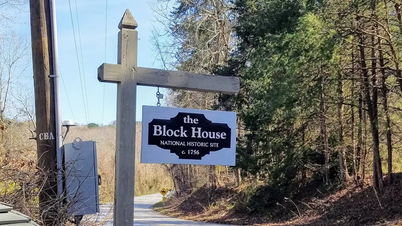
Near Tryon, on the line between North and South Carolina, an eight-acre site marks the place where a log block house stood from about 1756. It began as a trading post and was soon modified into a fort protecting settlers during the French and Indian War. The site lay on the old Blackstock Road, which ran from lower South Carolina to the mountains. It became the western end of the 1772 dividing line between the two colonies, and in 1776 it was briefly called Fort Howard. In 1813 commissioners from both states used it as the starting point for a new boundary, and in 1815 a stone was placed there to mark that line. After the Civil War it was a camp on a trade route and a spot for illegal cockfights and whiskey making. The house was moved 300 yards in 1942 and heavily altered, so the site rather than the building was listed. The boundary stone remains in place.
Significance in brief: The site was a landmark on the old Blackstock Road and was the western terminus of the 1772 North-South Carolina dividing line and the starting point of the 1813 boundary. It served as a trading post, frontier fort, Revolutionary War staging area and, later, a camp on a trade route. The 1815 boundary marker stone remains in its original position.
Machine-generated summary. This summary was generated by a language model from the official nomination document and has not been reviewed line by line by an editor. It may contain errors. Check the source document before relying on any detail. Source: nomination document (PDF) · National Archives catalog entry. NRHP reference 70000466, listed October 15, 1970. Summary generated October 2026 (model claude-sonnet-5-5, prompt v1.0-2026-10-29, confidence medium).
Key facts
| Address | E of U.S. 176, Tryon |
|---|---|
| County | Polk County |
| Listed | October 15, 1970 |
| Reference number | 70000466 |
| Resource type | Site |
| Areas of significance | Commerce, Politics/Government, Social History |
| Level of significance | State |
| Status (as stated in the nomination) | The block house was moved about 300 yards into North Carolina in 1942 and was remodeled and enlarged; the surrounding land is used as pasture, stables and racetrack. The 1813 marker stone remains in its original position. |
| Acreage | 8 |
| Coordinates | 35.19650, -82.21762 (NPS GIS) |
What listing means for this property
Sites (archaeological sites, battlefields, landscapes) are often listed with a restricted address to protect them from looting or disturbance. Listing is honorary for private owners; federal undertakings on or near the site go through Section 106 review, and state laws may protect burials and artefacts regardless of listing.
General information, not legal or tax advice. Rules change; confirm with your State Historic Preservation Office or a qualified adviser.
Sources and further reading
- National Park Service, National Register of Historic Places database (snapshot May 2026), reference 70000466.
- Nomination form (PDF, National Archives) — catalog entry
- Wikipedia article (used for cross-checking only; text not reproduced here)
- Wikidata Q19867552
- This listing as JSON
Last updated October 2026. Found an error? See the editorial policy for how to report it.