Trapps Mountain Hamlet Historic District

Why it's listed
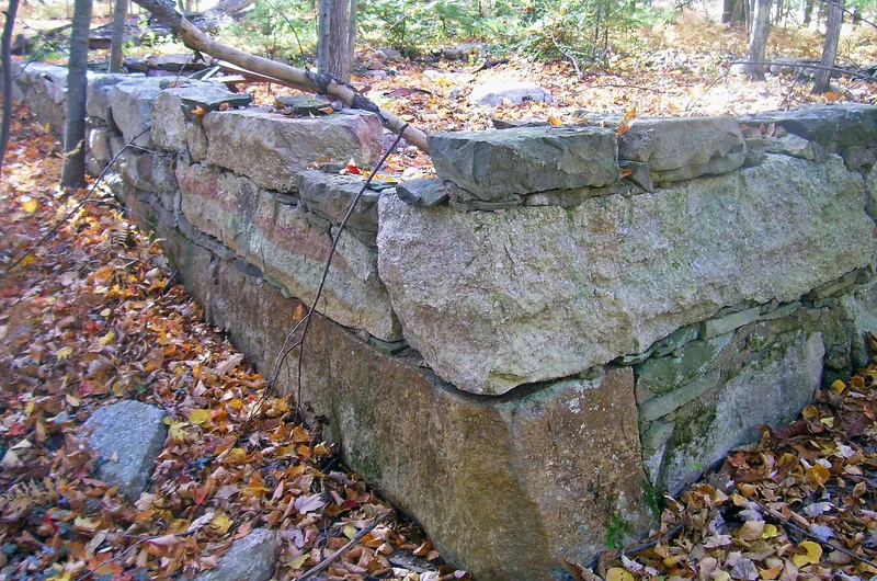
Trapps Mountain Hamlet is a mostly abandoned settlement on the Shawangunk Ridge in Ulster County, New York, beside a natural gap in the cliffs known as the Trapps. It grew from the late eighteenth century and declined by the 1940s, as a near-subsistence mountain community. Anecdotal and archaeological evidence suggests Native Americans displaced from the valleys below shared the ridge with European-American settlers into the late nineteenth century. The district includes a network of roads and trails, stone walls, six historic buildings, one in ruins, along with cellar holes, building sites, burial grounds and bridge abutments. Many dwellings used an unusual local framing method, called Shawangunk batten-plank, of thin vertical boards joined by heavy horizontal braces and lacking corner posts. Industrial remnants such as the Davis Mill site also survive. Because the Mohonk Preserve and Minnewaska State Park Preserve own most of the land, the remains can be studied and interpreted for the public.
Significance in brief: The hamlet is a rare surviving example of a now-extinct 'mountain community,' a near-subsistence settlement type. Evidence indicates native- and European-American people lived there side by side into the late nineteenth century. Its roads, buildings, cellar holes and burial grounds offer chances to study and interpret that settlement type.
Machine-generated summary. This summary was generated by a language model from the official nomination document and has not been reviewed line by line by an editor. It may contain errors. Check the source document before relying on any detail. Source: nomination document (PDF) · National Archives catalog entry. NRHP reference 00001275, listed November 2, 2000. Summary generated October 2026 (model claude-sonnet-5-5, prompt v1.0-2026-10-29, confidence medium).
Key facts
| Address | Off NY 44/55, Gardiner |
|---|---|
| County | Ulster County |
| Listed | November 2, 2000 |
| Reference number | 00001275 |
| Resource type | District |
| Period of significance | Initial settlement to the 1950s |
| Architectural style | Vernacular Shawangunk batten-plank framing, plus log construction and standard light framing; no formal classification given |
| Areas of significance | Exploration/Settlement, Community Planning and Development, Historic - Non-Aboriginal |
| Level of significance | Local |
| Status (as stated in the nomination) | Mostly abandoned; most land is owned by the Mohonk Preserve and Minnewaska State Park Preserve. Six historic buildings survive, one in ruinous condition, and some sites are used for hiking and recreation. |
| Acreage | 433 |
| Within district | Lake Mohonk Mountain House Complex |
| Coordinates | 41.73239, -74.21396 (NPS GIS) |
What listing means for this property
This is a historic district. Buildings within its boundary are either contributing (they add to the district's significance) or non-contributing. Owners of contributing income-producing buildings can claim the 20% federal rehabilitation tax credit; homeowners should look at state credits. National Register districts impose no design review by themselves; a local historic district ordinance, if one exists, does (the difference explained).
General information, not legal or tax advice. Rules change; confirm with your State Historic Preservation Office or a qualified adviser.
Sources and further reading
- National Park Service, National Register of Historic Places database (snapshot May 2026), reference 00001275.
- Nomination form (PDF, National Archives) — catalog entry
- Wikipedia article (used for cross-checking only; text not reproduced here)
- Wikidata Q7835663
- This listing as JSON
Last updated October 2026. Found an error? See the editorial policy for how to report it.