Peebles (Peobles) Island
Also known as: Haver Island; Goat Island; Second Island

Why it's listed
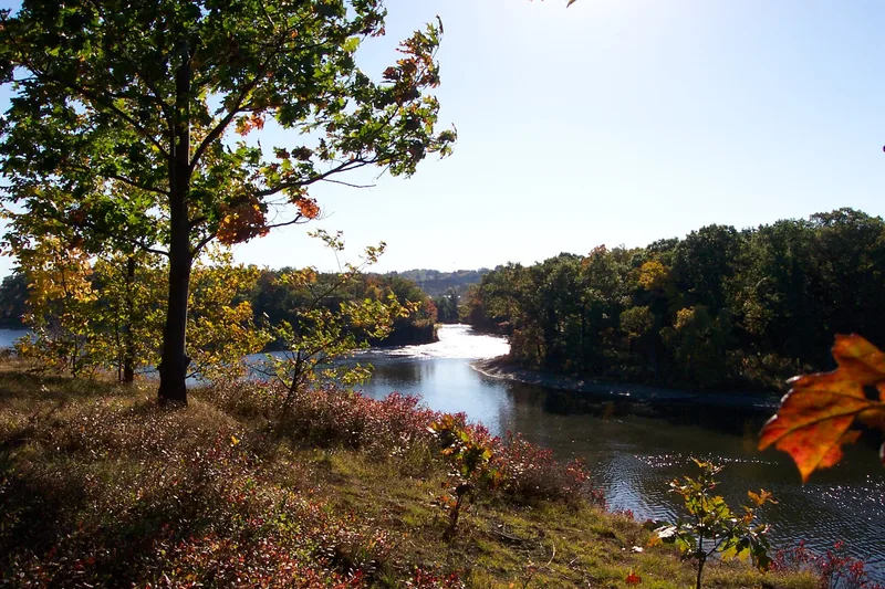
Peebles Island, once known as Haver Island, sits where the Mohawk and Hudson Rivers meet near Waterford, New York. Its 132 acres are mostly woods, shrubs and open land, with ridges, shallow swamps and steep banks that made it a natural fortress. A 1630 patent map places the Mohican Indians' Moeneminnes Castle here, and in 1750 a Swedish traveler described Indians fishing for sturgeon nearby. The island's most important chapter came in August 1777, when Schuyler's northern army fortified it to defend Albany, with works laid out by the Polish engineer Thaddeus Kosciuszko. Traces of those breastworks remain on the northern edge and have never been restored or disturbed. The island was farmed until 1910, when the Cluett-Peabody firm bought it and built a shirt bleachery on the northeast corner, which operated until 1972. That construction may have destroyed some archeological remains, so the surviving earthworks and undisturbed areas are considered worth protecting.
Significance in brief: The nomination argues the island is a largely undeveloped historic environment of major archeological value, chiefly for the Revolutionary period. In August 1777 the remnants of Schuyler's northern army fortified it, with defenses designed by Thaddeus Kosciuszko, and traces of those breastworks survive. It was also the reported site of the Mohican Indians' Moeneminnes Castle.
Machine-generated summary. This summary was generated by a language model from the official nomination document and has not been reviewed line by line by an editor. It may contain errors. Check the source document before relying on any detail. Source: nomination document (PDF) · National Archives catalog entry. NRHP reference 73001265, listed October 2, 1973. Summary generated October 2026 (model claude-sonnet-5-5, prompt v1.0-2026-10-29, confidence medium).
Key facts
| Address | At jct. of Mohawk and Hudson rivers, Waterford |
|---|---|
| County | Saratoga County |
| Listed | October 2, 1973 |
| Reference number | 73001265 |
| Resource type | District |
| Architect / builder | Thaddeus Kosciuszko (designer of the Revolutionary fortifications) |
| Areas of significance | Industry, Prehistoric, Historic - Non-Aboriginal, Military |
| Level of significance | Local |
| Status (as stated in the nomination) | Listed as unoccupied at present; a shirt bleachery on the island was operated until August 1972 and was described as recently abandoned. |
| Acreage | 250 |
| Coordinates | 42.78146, -73.68623 (NPS GIS) |
What listing means for this property
This is a historic district. Buildings within its boundary are either contributing (they add to the district's significance) or non-contributing. Owners of contributing income-producing buildings can claim the 20% federal rehabilitation tax credit; homeowners should look at state credits. National Register districts impose no design review by themselves; a local historic district ordinance, if one exists, does (the difference explained).
Noted as vacant in the nomination. Nomination documents can be decades old; current status may differ. If you are considering buying an empty listed property, read the due-diligence checklist.
General information, not legal or tax advice. Rules change; confirm with your State Historic Preservation Office or a qualified adviser.
Sources and further reading
- National Park Service, National Register of Historic Places database (snapshot May 2026), reference 73001265.
- Nomination form (PDF, National Archives) — catalog entry
- Wikipedia article (used for cross-checking only; text not reproduced here)
- Wikidata Q7160141
- This listing as JSON
Last updated October 2026. Found an error? See the editorial policy for how to report it.