Boyd & Parker Park and Groveland Ambuscade
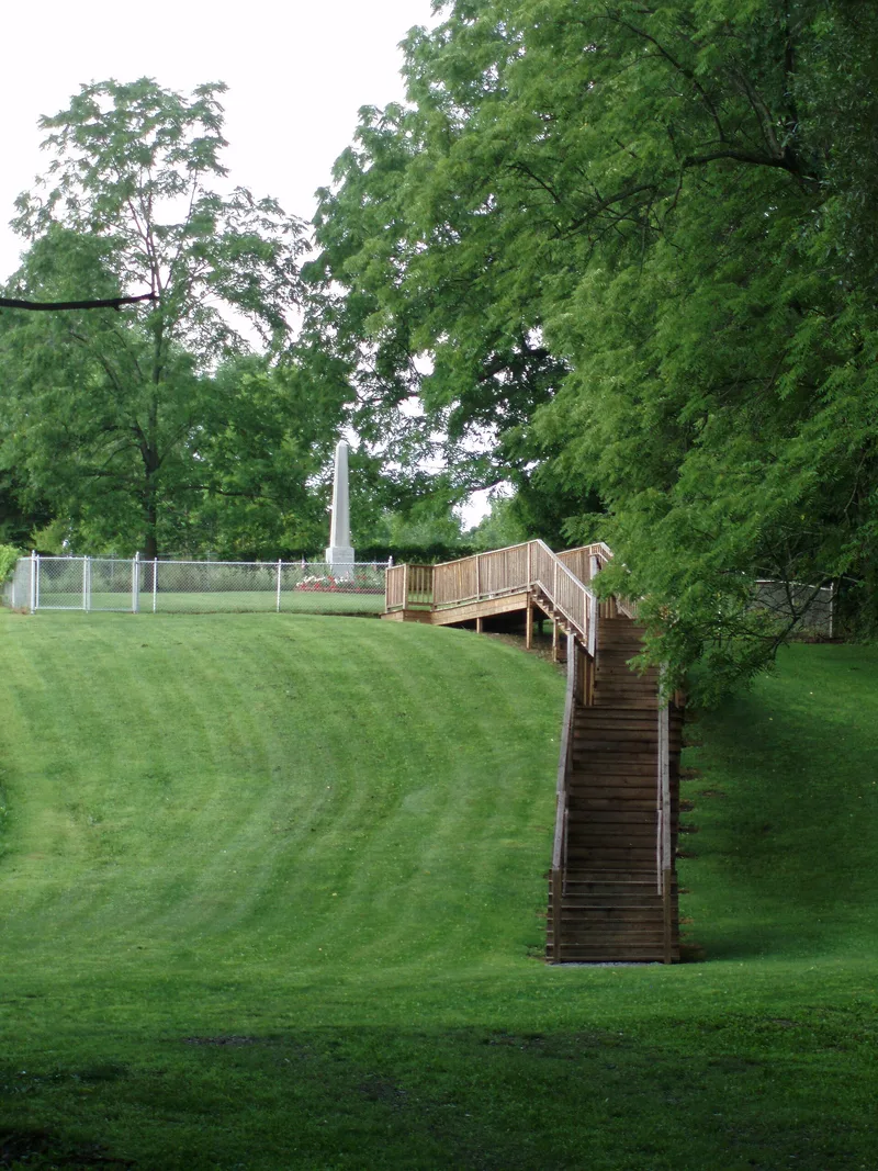

Why it's listed
Boyd & Parker Park and Groveland Ambuscade is a historic district at Cuylerville, in the town of Groveland, Livingston County, New York. It was listed on the National Register of Historic Places in 2009 under reference number 07000757. The file supplied for this entry is incomplete. It consists of a notice that the nomination form and photographs are missing, along with a USGS topographic map of the Conesus, New York quadrangle that marks the location of the district. Because the written description and statement of significance are absent, details such as the date of construction, the people involved, the physical features and the specific reasons for listing cannot be confirmed from this material. The name points to a park and an ambuscade site associated with Boyd and Parker, but the supplied pages do not explain the events or the people behind it. Further information would need to come from the full nomination record.
Significance in brief: The supplied material does not include the nomination narrative, so the reasons for significance cannot be stated. The property name suggests an association with Boyd and Parker and an ambuscade at Groveland, but the document does not explain this.
Machine-generated summary. This summary was generated by a language model from the official nomination document and has not been reviewed line by line by an editor. It may contain errors. Check the source document before relying on any detail. Source: nomination document (PDF) · National Archives catalog entry. NRHP reference 07000757, listed October 1, 2009. Summary generated October 2026 (model claude-sonnet-5-5, prompt v1.0-2026-10-29, confidence low).
Key facts
| Address | US 20A; Gray Hill Rd., Cuylerville |
|---|---|
| County | Livingston County |
| Listed | October 1, 2009 |
| Reference number | 07000757 |
| Resource type | District |
| Areas of significance | Native American, Exploration/Settlement, Military |
| Level of significance | Local |
| Acreage | 9 |
| Coordinates | 42.71745, -77.72547 (NPS GIS) |
What listing means for this property
This is a historic district. Buildings within its boundary are either contributing (they add to the district's significance) or non-contributing. Owners of contributing income-producing buildings can claim the 20% federal rehabilitation tax credit; homeowners should look at state credits. National Register districts impose no design review by themselves; a local historic district ordinance, if one exists, does (the difference explained).
General information, not legal or tax advice. Rules change; confirm with your State Historic Preservation Office or a qualified adviser.
Sources and further reading
- National Park Service, National Register of Historic Places database (snapshot May 2026), reference 07000757.
- Nomination form (PDF, National Archives) — catalog entry
- Wikipedia article (used for cross-checking only; text not reproduced here)
- Wikidata Q4952294
- This listing as JSON
Last updated October 2026. Found an error? See the editorial policy for how to report it.