Marlborough Brook Filter Beds

Why it's listed
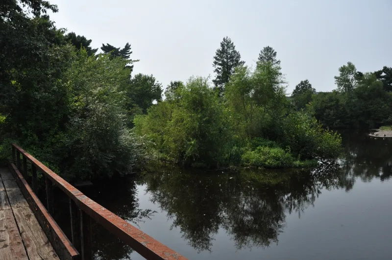
These filter beds occupy about 16 acres along the Marlborough and Southborough town line, beside the western edge of Sudbury Reservoir. The Metropolitan Water Board built them between 1895 and 1899 to clean water from Marlborough and Walker brooks, whose quality fell below the Board's standards, before it reached the reservoir. Board engineering staff under Frederic P. Stearns designed the system. It includes 28 shallow basins with tile drains under sand or gravel, arranged in terraces and separated by narrow channels with low earthen berms. Concrete sluices with wooden stop planks controlled the flow, and water moved by gravity from north to south. A concrete spillway was added in 1955 for flood control. The beds no longer operate, but their contours and control systems remain largely intact. They are considered the best surviving example of this type of facility in the metropolitan Boston water system. Three small wood-frame buildings nearby are excluded from the boundaries.
Significance in brief: The beds are tied to the development of Sudbury Reservoir as part of the metropolitan Boston water supply in the 1890s. They were built to purify water from Marlborough and Walker brooks before it entered the reservoir. They remain largely intact and are described as the best example of this property type in the metropolitan Boston system.
Machine-generated summary. This summary was generated by a language model from the official nomination document and has not been reviewed line by line by an editor. It may contain errors. Check the source document before relying on any detail. Source: nomination document (PDF) · National Archives catalog entry. NRHP reference 89002286, listed January 18, 1990. Summary generated October 2026 (model claude-sonnet-5-5, prompt v1.0-2026-10-29, confidence high).
Key facts
| Address | Framingham Rd., Marlborough |
|---|---|
| County | Worcester County |
| Listed | January 18, 1990 |
| Reference number | 89002286 |
| Resource type | Structure |
| Architect / builder | Designed by Metropolitan Water Board engineering staff under Frederic P. Stearns |
| Criteria |
|
| Areas of significance | Community Planning and Development, Engineering, Politics/Government |
| Level of significance | State, Local |
| Status (as stated in the nomination) | No longer in service, but original contours and control systems remain largely intact; condition listed as fair. A spillway was added in 1955 for flood control. |
| Acreage | 16 |
| Coordinates | 42.33114, -71.53678 (NPS GIS) |
What listing means for this property
National Register listing is honorary: it recognises significance and does not restrict what a private owner may do without federal money or permits. It unlocks the 20% federal rehabilitation tax credit for income-producing buildings, state credits in many states, and Section 106 review when federal agencies are involved. See what listing means in practice.
General information, not legal or tax advice. Rules change; confirm with your State Historic Preservation Office or a qualified adviser.
Sources and further reading
- National Park Service, National Register of Historic Places database (snapshot May 2026), reference 89002286.
- Nomination form (PDF, National Archives) — catalog entry
- Wikipedia article (used for cross-checking only; text not reproduced here)
- Wikidata Q6771656
- This listing as JSON
Last updated October 2026. Found an error? See the editorial policy for how to report it.