Sudbury Dam Historic District

Why it's listed
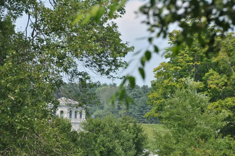
Sudbury Dam Historic District occupies about eight acres below the Sudbury Reservoir in Southborough, Massachusetts. Its centerpiece is an earth embankment 1,800 feet long, with a 300-foot stone spillway, rising roughly seventy feet above the valley floor. Around it are a granite gatehouse, a Weston Aqueduct head chamber built in 1903, a storehouse of 1900, two bridges, and relocated farm buildings used as a foreman's house and storage. A 1940 headhouse and two laboratory buildings are non-contributing. The district records the third phase of Boston's metropolitan water supply, when the Metropolitan Water Board of 1895 brought local supplies under regional control and finished the reservoir begun in 1893. The gatehouse was altered in 1915 to generate hydroelectric power, which continued into the early 1970s. The coursed gray granite, round-arched openings and tiled roofs give the earlier structures a consistent look. The district was found significant for its history and its design.
Significance in brief: The district shows how local water supplies were absorbed into a coordinated regional system under the Metropolitan Water Board of 1895. It also produced hydroelectric power from 1915-16 until the 1970s. Its engineering and granite architecture are significant, and the dam was the largest in the system when built.
Machine-generated summary. This summary was generated by a language model from the official nomination document and has not been reviewed line by line by an editor. It may contain errors. Check the source document before relying on any detail. Source: nomination document (PDF) · National Archives catalog entry. NRHP reference 89002265, listed January 18, 1990. Summary generated October 2026 (model claude-sonnet-5-5, prompt v1.0-2026-10-29, confidence high).
Key facts
| Address | SE end of Sudbury Reservoir off MA 30, Sudbury |
|---|---|
| County | Middlesex County |
| Listed | January 18, 1990 |
| Reference number | 89002265 |
| Resource type | District |
| Period of significance | 1894-1926 |
| Architect / builder | Wheelwright & Haven (Sudbury Dam components); Shepley, Rutan & Coolidge (Weston Aqueduct components) |
| Criteria |
|
| Areas of significance | Community Planning and Development, Engineering, Politics/Government, Architecture |
| Level of significance | State, Local |
| Status (as stated in the nomination) | Present use is water supply; general condition is stated as good. The gatehouse generating equipment was removed after power production ended in the early 1970s. |
| Acreage | 8 |
| Coordinates | 42.30623, -71.49110 (NPS GIS) |
What listing means for this property
This is a historic district. Buildings within its boundary are either contributing (they add to the district's significance) or non-contributing. Owners of contributing income-producing buildings can claim the 20% federal rehabilitation tax credit; homeowners should look at state credits. National Register districts impose no design review by themselves; a local historic district ordinance, if one exists, does (the difference explained).
General information, not legal or tax advice. Rules change; confirm with your State Historic Preservation Office or a qualified adviser.
Sources and further reading
- National Park Service, National Register of Historic Places database (snapshot May 2026), reference 89002265.
- Nomination form (PDF, National Archives) — catalog entry
- Wikipedia article (used for cross-checking only; text not reproduced here)
- Wikidata Q14715868
- This listing as JSON
Last updated October 2026. Found an error? See the editorial policy for how to report it.