Oak Hill Cemetery

Why it's listed
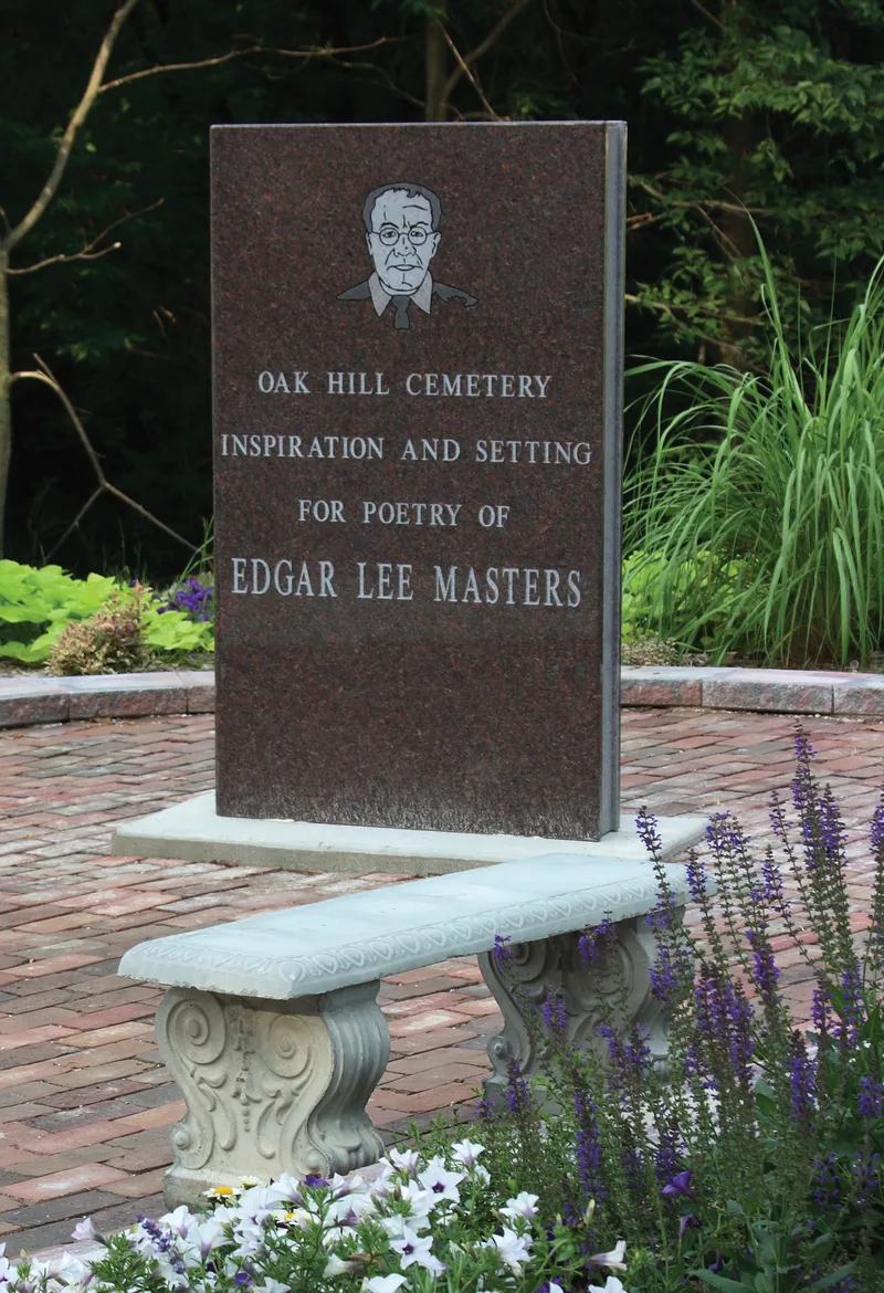
Oak Hill Cemetery lies on the west side of Main Street, about half a mile north of downtown Lewistown, Illinois. The listed area is the older southern section, roughly 13 acres of hills, valleys and gentle slopes shaded by old oaks, hickories and cedars. Headstones are mostly simple white stone, marble or granite, with Victorian obelisks and a few ornate iron fences around family plots. A brick retaining wall along Main Street was built by the WPA in the 1930s, though part of it collapsed in 1992. The cemetery was the part of town familiar to poet Edgar Lee Masters while he lived in Lewistown, and it inspired his Spoon River Anthology. Thirty-seven markers connected with 46 people have been tied to specific poems, including those of William Cullen Bryant, Nathan Beadles and Leonard Fulton Ross's family. The cemetery was listed because the Anthology, a widely read work of American poetry, portrays small-town life through epitaphs, and this place is its setting.
Significance in brief: The cemetery is nominated for its link to Edgar Lee Masters' Spoon River Anthology, which drew on people buried here during the years Masters lived in Lewistown. The nomination counts 37 markers tied to 46 persons identified with specific poems. It argues the Anthology and its setting matter as literature that records the social and cultural history of a small Midwestern town.
Machine-generated summary. This summary was generated by a language model from the official nomination document and has not been reviewed line by line by an editor. It may contain errors. Check the source document before relying on any detail. Source: nomination document (PDF) · National Archives catalog entry. NRHP reference 95001240, listed November 13, 1995. Summary generated October 2026 (model claude-sonnet-5-5, prompt v1.0-2026-10-29, confidence medium).
Key facts
| Address | 1000 Blk. N. Main St. (IL 97 and 100), Lewistown |
|---|---|
| County | Fulton County |
| Listed | November 13, 1995 |
| Reference number | 95001240 |
| Resource type | Site |
| Areas of significance | Literature |
| Level of significance | National |
| Status (as stated in the nomination) | Still an active cemetery, with burials continuing to the present. A 40-foot stretch of the 1930s WPA brick retaining wall along Main Street collapsed in 1992, and the wall is described as endangered. |
| Acreage | 13 |
| Coordinates | 40.40238, -90.15688 (NPS GIS) |
What listing means for this property
Sites (archaeological sites, battlefields, landscapes) are often listed with a restricted address to protect them from looting or disturbance. Listing is honorary for private owners; federal undertakings on or near the site go through Section 106 review, and state laws may protect burials and artefacts regardless of listing.
General information, not legal or tax advice. Rules change; confirm with your State Historic Preservation Office or a qualified adviser.
Sources and further reading
- National Park Service, National Register of Historic Places database (snapshot May 2026), reference 95001240.
- Nomination form (PDF, National Archives) — catalog entry
- Wikipedia article (used for cross-checking only; text not reproduced here)
- Wikidata Q18355691
- This listing as JSON
Last updated October 2026. Found an error? See the editorial policy for how to report it.