Pasadena Arroyo Parks and Recreation District

Why it's listed
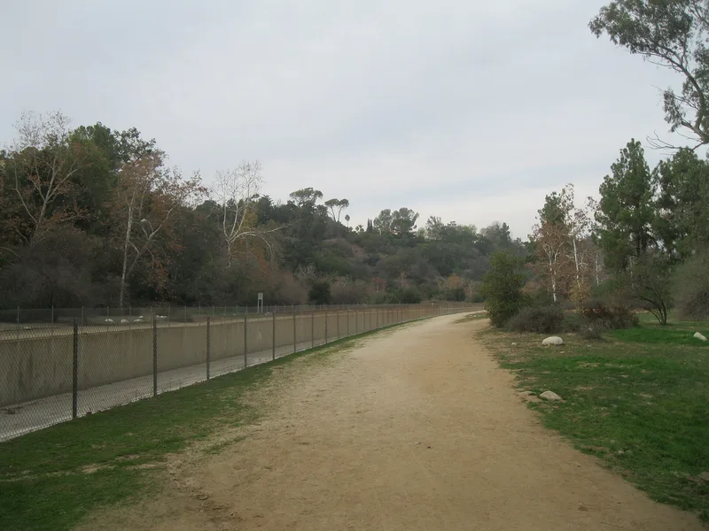
Pasadena's Arroyo Parks and Recreation District occupies the Arroyo Seco canyon along the city's western edge, about 700 acres in total. The Central Arroyo holds the Rose Bowl Stadium, Brookside Golf Club and Brookside Park, with its baseball fields, tennis courts, aquatic center and picnic areas. The quieter Lower Arroyo has a naturalistic landscape with trails, a casting pond and clubhouse, an archery range, and the Bird Sanctuary. Arroyo stone retaining walls, fountains and trail edging, many built during the Depression, give the canyon an Arts and Crafts character. Roads, bridges and a concrete flood control channel link the areas. The district matters because it shows how Pasadena protected the canyon's scenery while building public recreation facilities, guided by the 1918 Arroyo Seco Park Plan. Its period of significance runs from 1909 to 1939, and many historic uses continue where they began, including baseball at the field later named for Jackie Robinson.
Significance in brief: The district is argued to illustrate Pasadena's effort to preserve the scenic beauty of the Arroyo while providing public recreation, reflecting both the scenic preservation movement and the recreation and playground movement. Its layout, roads, landscaping and uses follow the 1918 Arroyo Seco Park Plan. Depression-era projects such as stone fountains, the Bird Sanctuary, a baseball stadium and flood channelization also add to its significance.
Machine-generated summary. This summary was generated by a language model from the official nomination document and has not been reviewed line by line by an editor. It may contain errors. Check the source document before relying on any detail. Source: nomination document (PDF) · National Archives catalog entry. NRHP reference 08000579, listed November 10, 2008. Summary generated October 2026 (model claude-sonnet-5-5, prompt v1.0-2026-10-29, confidence medium).
Key facts
| Address | Roughly bounded by the Foothill Freeway on the north, the city limits on the south, Arroyo Blvd on east, San Rafael, Pasadena |
|---|---|
| County | Los Angeles County |
| Listed | November 10, 2008 |
| Reference number | 08000579 |
| Resource type | District |
| Period of significance | 1909-1939 |
| Architect / builder | Myron Hunt (baseball stadium, dugouts and clubhouse); Bennett and Haskell (Haskell designed the Fannie Morrison Horticultural Center); Mayberry & Parker (bridge) |
| Architectural style | Late 19th and Early 20th Century American Movements |
| Areas of significance | Entertainment/Recreation |
| Level of significance | Local |
| Status (as stated in the nomination) | Retains a high degree of physical integrity; historic hiking, riding, swimming, baseball, tennis, golf and football uses continue in the same locations. Part of the Lower Arroyo was recently restored with naturalized streambeds. |
| Acreage | 700 |
| Coordinates | 34.14042, -118.16623 (NPS GIS) |
What listing means for this property
This is a historic district. Buildings within its boundary are either contributing (they add to the district's significance) or non-contributing. Owners of contributing income-producing buildings can claim the 20% federal rehabilitation tax credit; homeowners should look at state credits. National Register districts impose no design review by themselves; a local historic district ordinance, if one exists, does (the difference explained).
General information, not legal or tax advice. Rules change; confirm with your State Historic Preservation Office or a qualified adviser.
Sources and further reading
- National Park Service, National Register of Historic Places database (snapshot May 2026), reference 08000579.
- Nomination form (PDF, National Archives) — catalog entry
- Wikidata Q141633439
- This listing as JSON
Last updated October 2026. Found an error? See the editorial policy for how to report it.