Kennedy Mine Historic District
Also known as: Kennedy Mining nad Milling Company; Kennedy Mining Company; Humbug Hill; Kennedy Quartz Mining Claim; THe Gate

Why it's listed
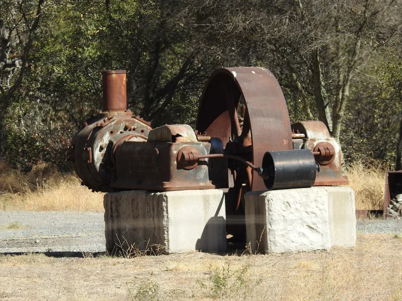
Just north of Jackson, in the Sierra foothills of Amador County, the Kennedy Mine Historic District covers a former gold mining complex divided into seven areas. Mining began in 1860 on a 480-foot claim, and a company formed in 1869 sank successive shafts through the 1870s and 1880s. The East Shaft, begun in November 1898, intercepted the sloping ore-bearing fissure and eventually reached about 5,912 vertical feet, making the Kennedy the deepest mine in North America when the federal government closed gold mines in 1942. Its 135-foot steel headframe is the tallest on the Mother Lode. The district also includes The Gate, a mineralized rock outcrop that drew early prospectors, Humbug Hill, where placer and hydraulic mining left pits and ditches, and the Kennedy Tailing Wheels. Some non-mining historic resources, such as a church, are counted because they lie on the property. Today the site is used for mine tours, a museum, a theater and outdoor recreation.
Significance in brief: The nomination presents the Kennedy as a late-arriving but important hard rock gold mine on the Mother Lode. Its East Shaft, begun in 1898, helped make it the deepest mine in North America when gold mines were closed in 1942. The district also preserves evidence of earlier placer, hydraulic and ground sluicing activity, and a 135-foot steel headframe, the tallest on the Mother Lode.
Machine-generated summary. This summary was generated by a language model from the official nomination document and has not been reviewed line by line by an editor. It may contain errors. Check the source document before relying on any detail. Source: nomination document (PDF) · National Archives catalog entry. NRHP reference 08001347, listed January 22, 2009. Summary generated October 2026 (model claude-sonnet-5-5, prompt v1.0-2026-10-29, confidence medium).
Key facts
| Address | 12594 Kennedy Mine Rd., Jackson |
|---|---|
| County | Amador County |
| Listed | January 22, 2009 |
| Reference number | 08001347 |
| Resource type | District |
| Architectural style | Other: No Style |
| Areas of significance | Commerce, Exploration/Settlement, Industry, Law, Other, Engineering, Architecture |
| Level of significance | State |
| Status (as stated in the nomination) | Most of the property is held by a nonprofit foundation, which runs above-ground mine tours. The district has museum, theater and outdoor recreation uses, and the East Shaft remains open. |
| Acreage | 152 |
| Coordinates | 38.36294, -120.77708 (NPS GIS) |
What listing means for this property
This is a historic district. Buildings within its boundary are either contributing (they add to the district's significance) or non-contributing. Owners of contributing income-producing buildings can claim the 20% federal rehabilitation tax credit; homeowners should look at state credits. National Register districts impose no design review by themselves; a local historic district ordinance, if one exists, does (the difference explained).
General information, not legal or tax advice. Rules change; confirm with your State Historic Preservation Office or a qualified adviser.
Sources and further reading
- National Park Service, National Register of Historic Places database (snapshot May 2026), reference 08001347.
- Nomination form (PDF, National Archives) — catalog entry
- Wikidata Q141631993
- This listing as JSON
Last updated October 2026. Found an error? See the editorial policy for how to report it.