Rose Hill
Also known as: Indian Land

Why it's listed
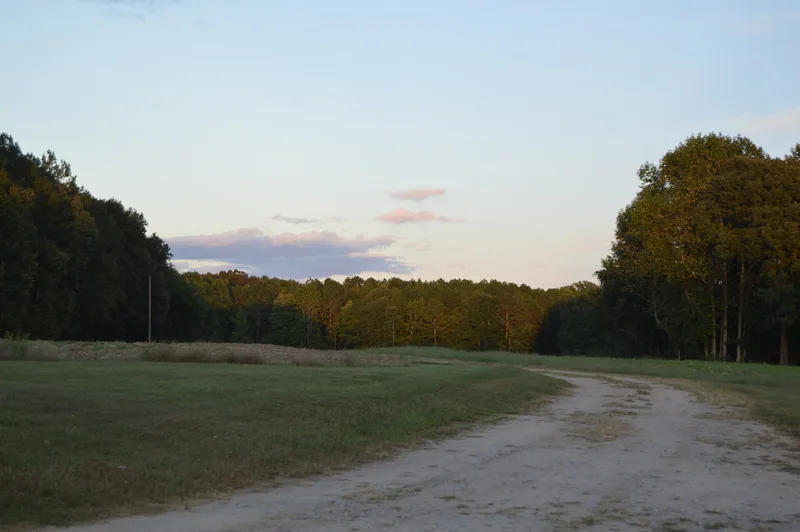
Rose Hill is a two-story frame house near Capron, in Southampton County, Virginia, built by Henry Blow between about 1805 and 1815. It follows the traditional "I" house plan, with one room on each side of a central passage, and rests on a brick foundation with brick end chimneys. A tetrastyle porch was added around 1900. Inside, the mantels and wainscoting keep their original paint, graining and marbleizing, which the nomination ranks among the most striking in Southside Virginia. The roof is also unusual: large king-post trusses and a tenoned ridge pole, described as unique in the state for a house of its period. The land, called "Indian Land" in early deeds, was deeded to John T. Blow by the Nottoway tribe in 1792. It was earlier the site of the Weanoc settlement of Warekeck. Surface surveys in the 1950s found evidence of Indian and European contact, and the 196-acre property includes archaeological sites. The Kello family has owned it since 1877.
Significance in brief: The house is described as among the earliest and best preserved "I" houses in Southampton County. Its mantels and wainscoting keep their original paint, graining and marbleizing, and its large king-post roof system is described as unique in Virginia. The land was deeded by the Nottoway Indian Tribe in 1792 and holds prehistoric and colonial-era Indian archaeological sites.
Machine-generated summary. This summary was generated by a language model from the official nomination document and has not been reviewed line by line by an editor. It may contain errors. Check the source document before relying on any detail. Source: nomination document (PDF) · National Archives catalog entry. NRHP reference 79003087, listed December 31, 1979. Summary generated October 2026 (model claude-sonnet-5-5, prompt v1.0-2026-10-29, confidence high).
Key facts
| Address | NE of Capron on VA 635, Capron |
|---|---|
| County | Southampton County |
| Listed | December 31, 1979 |
| Reference number | 79003087 |
| Resource type | Building |
| Period of significance | 1800-1899 |
| Architectural style | "I" house, central-passage plan with Greek Revival details in the mid-19th-century ell door |
| Areas of significance | Historic - Aboriginal, Architecture |
| Level of significance | State |
| Status (as stated in the nomination) | Listed in excellent condition, occupied and used as a private residence and for agriculture. |
| Acreage | 196 |
| Coordinates | 36.74810, -77.13784 (NPS GIS) |
What listing means for this property
National Register listing is honorary: it recognises significance and does not restrict what a private owner may do without federal money or permits. It unlocks the 20% federal rehabilitation tax credit for income-producing buildings, state credits in many states, and Section 106 review when federal agencies are involved. See what listing means in practice.
General information, not legal or tax advice. Rules change; confirm with your State Historic Preservation Office or a qualified adviser.
Sources and further reading
- National Park Service, National Register of Historic Places database (snapshot May 2026), reference 79003087.
- Nomination form (PDF, National Archives) — catalog entry
- Wikipedia article (used for cross-checking only; text not reproduced here)
- Wikidata Q17029994
- This listing as JSON
Last updated October 2026. Found an error? See the editorial policy for how to report it.