Brown's Ferry
Also known as: Mahone House

Why it's listed
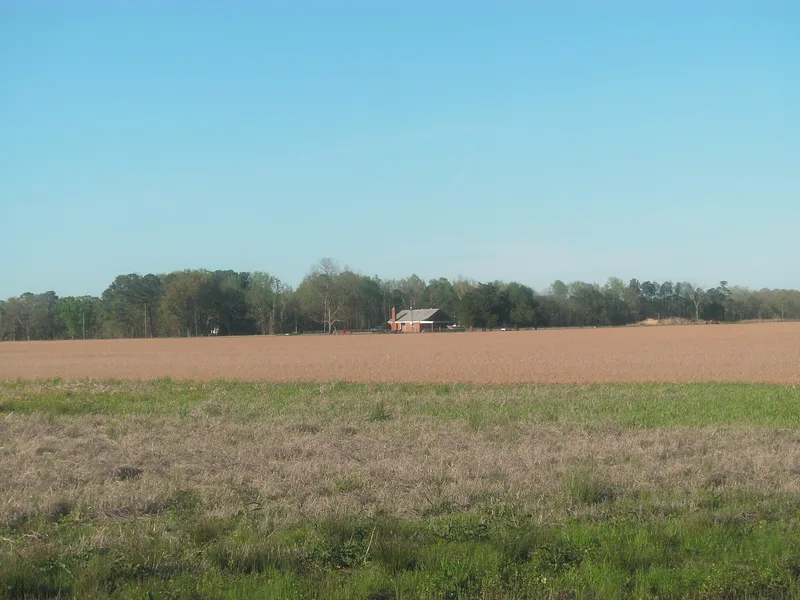
Brown's Ferry is a two-story, five-bay brick house built about 1812-1817 on open farmland near the Nottoway River in southern Southampton County, Virginia. It is described as the most distinguished Federal house in the county and one of its few early brick houses. The walls use Flemish bond on the front and rear and American bond on the gable ends, and the front doorway has a semicircular lunette. Inside, the plan is unusual: two large parlors sit one behind the other on the north side, with two smaller rooms divided by a stairwell on the south. Mantels, wainscoting, grained doors and marbleized baseboards survive. A frame smokehouse, a log crib and a pole barn remain nearby. The property is also remembered as the traditional birthplace of William Mahone, born in 1826, who became a Confederate major general, a railroad president and a leader of the Readjusters in Virginia politics. Its architecture and that association support its recognition.
Significance in brief: The nomination calls it one of the largest and most important Federal houses in Southampton County, with notable brickwork, interior woodwork and painted finishes, and a floor plan unique in the area. It is also known as the birthplace of William Mahone (1826-1895), a Confederate general, railroad executive and Readjuster political leader.
Machine-generated summary. This summary was generated by a language model from the official nomination document and has not been reviewed line by line by an editor. It may contain errors. Check the source document before relying on any detail. Source: nomination document (PDF) · National Archives catalog entry. NRHP reference 79003090, listed June 18, 1979. Summary generated October 2026 (model claude-sonnet-5-5, prompt v1.0-2026-10-29, confidence medium).
Key facts
| Address | E of Drakes Corner off VA 684, Drakes Corner |
|---|---|
| County | Southampton County |
| Listed | June 18, 1979 |
| Reference number | 79003090 |
| Resource type | Building |
| Period of significance | 1800-1899 |
| Architectural style | Federal |
| Areas of significance | Military, Architecture |
| Level of significance | State |
| Status (as stated in the nomination) | Form lists the property as private and unoccupied; the outbuildings are partly ruinous and one chimney has collapsed. The land is no longer farmed. |
| Acreage | 7 |
| Coordinates | 36.61049, -77.00090 (NPS GIS) |
What listing means for this property
National Register listing is honorary: it recognises significance and does not restrict what a private owner may do without federal money or permits. It unlocks the 20% federal rehabilitation tax credit for income-producing buildings, state credits in many states, and Section 106 review when federal agencies are involved. See what listing means in practice.
General information, not legal or tax advice. Rules change; confirm with your State Historic Preservation Office or a qualified adviser.
Sources and further reading
- National Park Service, National Register of Historic Places database (snapshot May 2026), reference 79003090.
- Nomination form (PDF, National Archives) — catalog entry
- Wikipedia article (used for cross-checking only; text not reproduced here)
- Wikidata Q15205164
- This listing as JSON
Last updated October 2026. Found an error? See the editorial policy for how to report it.