Scott's Addition Historic District

The pin is a point inside the NPS boundary polygon, not a surveyed location.
Why it's listed
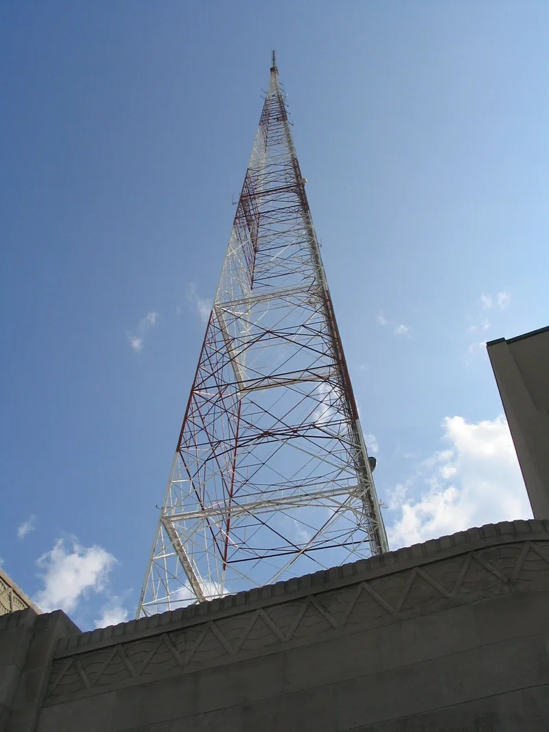
Scott's Addition is an industrial and commercial district in Richmond, Virginia, bounded by the Boulevard and the Richmond, Fredericksburg and Potomac Railroad. Its streets were laid out in a grid in the 1890s, but the area stayed largely undeveloped until the early 1900s, when modest houses and businesses appeared. A second phase, from the 1930s to the 1950s, brought large factories, warehouses and commercial buildings, some replacing the earlier dwellings. The district holds 374 resources, of which 287 contribute to its character. Architecture ranges from Colonial Revival rowhouses and a Classical Revival church to Art Deco car dealerships and a radio station. It also has sixteen Moderne buildings, possibly the largest concentration in the city, including a dairy plant, a grocery store, a skating arena and a glass factory. Buildings sit close to the street, and rail spurs remain visible beside loading docks. These varied designs give the area its distinctive character.
Significance in brief: The district is described as one of the larger industrial and commercial districts in Richmond. It has a varied collection of early and mid-twentieth century architecture, including possibly the city's largest concentration of Moderne buildings, a style rarely seen in Richmond. Its warehouses, plants and showrooms reflect two phases of development, in the early 1900s and from the 1930s to the 1950s.
Machine-generated summary. This summary was generated by a language model from the official nomination document and has not been reviewed line by line by an editor. It may contain errors. Check the source document before relying on any detail. Source: nomination document (PDF) · National Archives catalog entry. NRHP reference 05000896, listed August 12, 2005. Summary generated October 2026 (model claude-sonnet-5-5, prompt v1.0-2026-10-29, confidence medium).
Key facts
| Address | Roughly bounded by Cutshaw Ave, Boulevard, and the Richmond Fredericksburg and Potomac RR, Richmond (Independent City) |
|---|---|
| County | Richmond (city and county) |
| Listed | August 12, 2005 |
| Reference number | 05000896 |
| Resource type | District |
| Architect / builder | Henry T. Barnham; Leon Otis Spiers; Marcellus E. Wright; Davis Brothers Inc.; Albert Kahn; Fredrick Bishop; Louis W. Ballou; Carneal, Johnston & Wright; Joseph J. Schlesser; Jason W. Kendler & Son |
| Architectural style | Late 19th and 20th Century Revivals (Colonial Revival, Mission Revival, Classical Revival); Modern Movement (Moderne, International Style, Art Deco, Other, Post Modern) |
| Areas of significance | Industry, Commerce, Architecture, Community Planning and Development |
| Level of significance | Local |
| Status (as stated in the nomination) | Currently zoned mixed use, allowing light industrial, office, residential and service uses. Some buildings, such as a former skating arena, have been converted to offices. |
| Acreage | 152 |
| Coordinates | 37.56864, -77.47249 (NPS GIS) |
What listing means for this property
This is a historic district. Buildings within its boundary are either contributing (they add to the district's significance) or non-contributing. Owners of contributing income-producing buildings can claim the 20% federal rehabilitation tax credit; homeowners should look at state credits. National Register districts impose no design review by themselves; a local historic district ordinance, if one exists, does (the difference explained).
General information, not legal or tax advice. Rules change; confirm with your State Historic Preservation Office or a qualified adviser.
Sources and further reading
- National Park Service, National Register of Historic Places database (snapshot May 2026), reference 05000896.
- Nomination form (PDF, National Archives) — catalog entry
- Wikipedia article (used for cross-checking only; text not reproduced here)
- Wikidata Q16899881
- This listing as JSON
Last updated October 2026. Found an error? See the editorial policy for how to report it.